Deployment of Another NOAA WatchKeeper 'Smart' Buoy
NOAA's Chesapeake Bay office, led by Mr. Doug Wilson and assisted by Don Bryan of AXYS, has successfully deployed the fifth Chesapeake Bay Interpretive Buoy System (CBIBS) Smart Buoy at Havre de Grace, Maryland, near the mouth of the Susquehanna River.
The buoy was deployed in approximately 20 metres of water and was outfitted with a series of oceanographic and meteorological sensors. Immediately following the deployment, a cell phone call was made to the Smart buoy over the Verizon cell network and live data of the local marine conditions was immediately streamed back to the handset.
This buoy forms another 'smart' marker along the Captain John Smith Chesapeake National Historic Trail, as well as providing a window on the local marine environment to boaters, kayakers, students and other stakeholders.
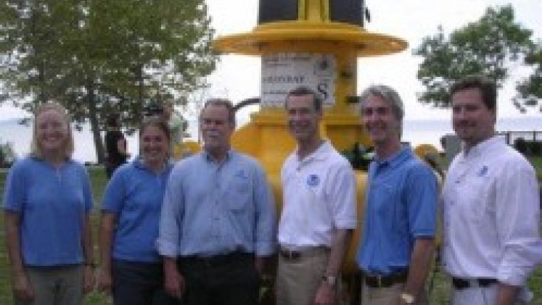
Prior to the deployment, a ceremony to mark the Smart buoy launch took place. Several members of the NOAA team, including Vice Admiral Conrad Lautenbacher (see photo below), Congressmen, Senators, the Mayor of Havre de Grace, Maryland, and approximately 100 guests were on hand for the unveiling of the buoy and to hear the history of the buoy and trail network.
For more details on the CBIBS network and to see actual data from the buoys, please visit : The Chesapeake Bay Interpretive Buoy System.


