Digital Marine Map Evaluation
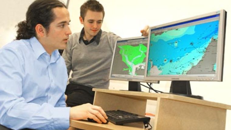
SeaZone is offering UK local authorities a three-month trial of its digital marine map of UK coastal areas. SeaZone HydroSpatial provides access to comprehensive and best available, authoritative marine and coastal zone information. The offer is in response to the growing demands being placed on the marine environment and new regulations that will require coastal authorities to improve their information systems.
In addition to the data trial SeaZone will work closely with Councils to identify potential applications and benefits and help develop business cases for future budget allocation. This offer is part of a wider campaign by SeaZone to engage with local government and provide appropriate, integrated mapping across land and sea.
SeaZone utilises and re-engineers existing authoritative sources of best available data to create SeaZone HydroSpatial, the market's first true ‘off the shelf' content rich, intelligent digital marine map. Designed to internationally recognised standards and supplied in popular Geographical Information System (GIS) formats with supporting documentation and symbology, the data comes in six distinct topics covering different aspects of the marine environment.
For a small administration charge, redeemable against future purchases, qualifying Councils will have unlimited use of the data for the trial period enabling evaluation of the resource and integration with existing working practices and processes.
SeaZone HyrdroSpatial is already supporting organisations with a wide range of planning, regulatory, engineering and asset management activities, including over 15 central government organisations including Defra, English Heritage and the Welsh Assembly and Scottish Governments. A number of Local Government Authorities have also benefited from SeaZone products, predominantly to help manage emergency planning obligations. For example Devon and Dorset County Councils in conjunction with Defra utilised SeaZone HydroSpatial in addressing the clean up operation for MSC Napoli grounding off the South Devon coast.


