E-map Project for Powertech
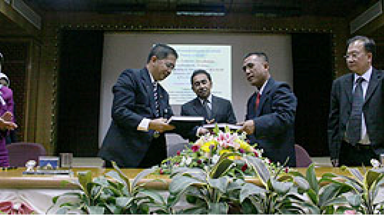
A B$9.5 million project for the delivery of Brunei's national Spatial Data Infrastructure (NSDI) was officially contracted end of April 2007 during a signing ceremony between the Ministry of Development and Selective Powertech Consulting, held at the Ministry of Development.
Primary contractor Selective Powertech Consulting is a local ICT consultancy, specialised in implementation for e-government. The project team and major subcontractors include geomatics software company CARIS (Canada), its representative, Maicons Technology Sdn Bhd (Malaysia); and e-commerce and finance specialists, Dalpus Technologies (Brunei Darussalam).
Completion of the e-Map project is estimated April 2008. The main components of e-Map are Framework Data (vector, raster and grid), Products, Metadata, NSDI Catalogue, Data Warehouse and Online Business Applications. The primary proponents of the project are the Ministry of Development Departments of Survey, Land and Town & Country Planning.
"E-Map is a system which will disseminate information related to geographic, survey, land, development, town planning and other information over the Internet. It comprises of a group of sub-systems, all of which will access a common set of databases," explains Haji Mohammed Jamil bin Haji Mohammed Ali, Surveyor General of the Survey Department, Ministry of Development.
He noted that, "Through this infrastructure, Brunei will reduce duplication of effort among agencies, improve quality and reduce costs related to geographic information, make geographic data more accessible to the public, increase the benefits of using available data, establish key partnerships with government agencies, academia, public and the private sector, and increase data availability." The e-Map infrastructure will provide a common means to share geographical data among all users and promote the development of business applications that utilise spatial data. This will produce significant savings for data collection and use and enhance decision-making.
The common point of access for all e-Map online applications is an E-Map Portal. Applications will be delivered for online mapping, e-PPT land subdivision and consolidation, e-Planning for Town and Country Planning for land development, and e-Land land administration and taxation.


