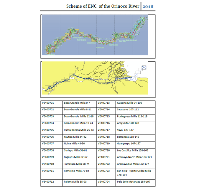
ENCs of Orinoco River in Venezuela
The Service of Hydrography, Oceanography, Meteorology and Nautical Charting (SHN) of the Venezuelan Navy recently initiated a series of tasks aimed at guaranteeing the safety of navigation along Venezuela’s main river navigation route. In an initial phase, 24 ENCs have been produced for the Boca Grande-Matanzas section (from mile 0 to mile 198) of the Orinoco River.
This decision stemmed from the large volume of traffic of large vessels and the geostrategic significance of the waterway. Both of these factors are expected to increase in importance in the near future as the economic boom continues to stimulate the export of products and the movement of raw materials to all parts of the world. The SHN is keen to shoulder its responsibility for the timely publication, dissemination and maintenance of nautical cartography in order to safeguard the safety of navigation in the aquatic spaces of the Republic of Venezuela, which is a signatory to the International Convention for the Safety of Human Life at Sea (SOLAS).
In order to comply with international conventions, since 1950 this Hydrographic Service has been dedicated to producing paper nautical charts, navigation products of mandatory use for ships engaged in transport and maritime trade. These products are distributed and marketed through the IC-ENC and under the Admiralty of the UKHO brand. This guarantees the safety of the navigation of the ships that sail in the country’s aquatic spaces and specifically of the ships that navigate in the Orinoco River. These vessels are involved in the transportation of products and raw materials for national development, as well as in the export of minerals from the eastern part of the country.
On-site verification
For the commercialisation of these products, it is necessary to comply with the highest quality standards. This required the SHN to carry out on-site verification of these products through navigation with precise positioning elements that guarantee high-quality products capable of guaranteeing the safety of the product for navigation.
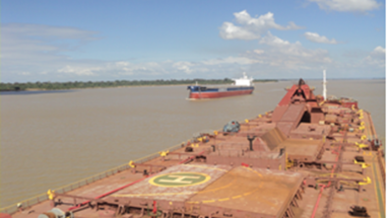
The head of the project was Lt Cmdr Daniel Rojas, who was part of the Nippon Foundation CHART project and IHO, and who has done the UKHO’s course on marine cartography and data evaluation. Once the products were finished, he embarked on the Venezuelan-flag bulk carrier Rio Caroní ship, navigating with the ENCs loaded in the ECDIS from the Ferrominera del Orinoco dock in Puerto Ordaz to the Boca Grande transfer station, thus verifying 24 ENCs represented in the scheme. The ship sailed with a draft of 9.2 metres and 36,000 tons of iron ore. During navigation the GPS differential positioning system and the HYPACK software for hydrographic surveys were used, which allowed the precise location of the ship during navigation.
These ENCs will significantly increase the safety of navigation on the Orinoco River.