EOMAP Delivers Belize Satellite-derived Bathymetry to UKHO
In early 2022, EOMAP started mapping the shallow waters of Belize using SDB technology. Parts of these approximately 9,000 square kilometres had never been sufficiently surveyed before. Now, the bathymetry grids – the first lot of a multi-year framework contract – have been delivered to the UK Hydrographic Office (UKHO).
“Satellite-derived bathymetry plays an incredibly important role in improving our understanding of shallow coastal or remote areas not easily accessible by traditional methods. The data collected on behalf of Belize by the Commonwealth Marine Economies Programme will help the management and sustainable development of the waters of Belize and strengthen future activities to support safety of the mariner and the environment,” said Ian Davies, international hydrographic portfolio manager, UKHO.
Multispectral and Satellite Lidar Imagery
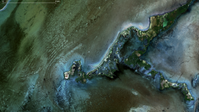
The survey covers all shallow coastal and marine waters of Belize down to a water depth of 20 metres on offshore reefs. Multi-image SDB concepts were applied to overcome local challenges of variable turbidity and cloud gaps. EOMAP has refined 35 very high-resolution records from Maxar’s multispectral satellites, ESA’s Sentinel-2 with 180 tiles as well as Planet’s SuperDove data for selected areas.
In addition, EOMAP used millions of space-born active laser measurements to create a Satellite Lidar Bathymetry (SLB) database. This resulted in about one million single depth measurements from the active Lidar system ICESat-2 ATLAS instrument, thus providing further verification and proof of the created bathymetric grids. Finally, the German team created and provided reflectance datasets of the shallow water environment – crucial for characterization and classification of shallow water habitats. These have been shared with the Belizean authorities.

Constant Updates of Belizean Bathymetric Data
“In order to keep bathymetric information up to date easily, we’ve now developed SDB Online. This WebApp automates the above complex processes and thus allows users to create bathymetry grids within 15 to 120 minutes. It builds on archived or most recent satellite records,” Mona Reithmeier commented – SDB expert and SDB Online manager at EOMAP. The new WebApp can be used to constantly update the bathymetric data in Belize and is helpful for any shallow water stakeholder.
With this extensive survey in Belize – as with contributions to Seabed 2030 and EMODnet Bathymetry – EOMAP continues to strengthen bathymetry knowledge, hydrography and coastal resilience in the Caribbean and worldwide.
At the end of 2021, EOMAP was – again – ranked first-choice provider of SDB by the UKHO. As well as high-class hydrographers and surveyors, coastal zone managers and engineers all over the world value the German tech leader’s satellite-based information on shallow waters.
Digital Twins of Shallow Waters
SDB is a rising technique using satellite data records and analytical methods for producing ‘digital twins’ of shallow waters. EOMAP’s SDB concept is to quantify water depth by inverting the radiative transfer model. This model describes the modulation of sunlight as it passes through the atmosphere, water surface and water column and is reflected back to the satellite sensor from the sea floor. In short, water depth is derived from light energy in different wavelengths that are recorded by satellites.
Compared with ship and airborne survey methods, SDB allows the mapping of extensive aquatic zones remotely and within a fraction of the time. SDB data by EOMAP has been integrated into nautical charts, is part of the European harmonized bathymetric grid, and serves the management of the Great Barrier Reef and many other coastal stakeholders. Advances in accuracy and awareness of this effective surveying method continue to drive demand.


