First Fully-autonomous Shallow Water Survey
Geodata specialist Fugro has completed the Middle East’s first fully autonomous geophysical shallow-water route survey. Controlled from their remote operations centre in Abu Dhabi, an unmanned surface vessel (USV) captured a full range of geophysical data across a survey area of some 40km out from the coast of Abu Dhabi to support a client’s critical project, entirely remotely.
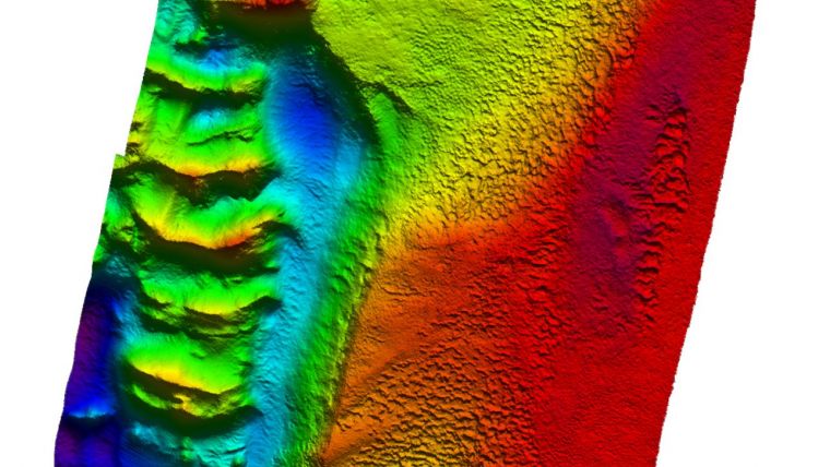
The results of the fully autonomous geophysical shallow-water route survey comprised conductivity, temperature, depth and salinity (CTDS) profiles, bathymetry data, seabed imaging, sub-bottom profiles, and ferrous object detection such as pipes, etc. The efficiency gains and material reductions from using Fugro’s remote and autonomous solution, rather than a conventionally mobilized and crewed survey, saved significant client costs and materials. USVs also have a much lower carbon footprint than regular survey vessels.
“Witnessing this ambitious concept transformed into reality is a landmark moment in the Middle East that has resulted in the successful delivery of a critical seabed characterization report based solely on our autonomously acquired geodata,” said Gerard Ferreira, Fugro’s service line director for marine geophysics in the Middle East.


