First Two New Lebanese Nautical Charts Launched
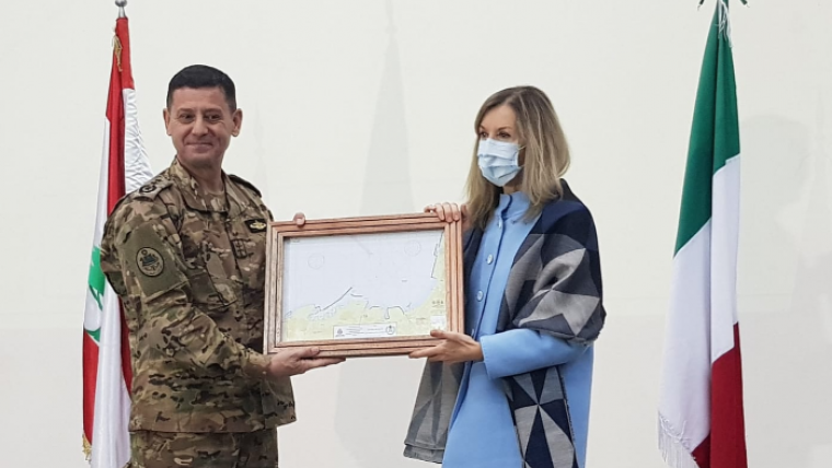
Last month, the presentation ceremony of the first two nautical charts co-produced by the Hydrographic Service of the Lebanese Navy and the Italian Hydrographic Institute took place at Jounieh Naval Base. The two nautical charts represent the Port of Beirut and the adjacent waters, and adhere to stringent and rigorous international standards.
This historical moment is the result of an intense collaborative work. The charts launch the last phase of the Italian initiative to support Lebanon in the creation of an autonomous and independent national hydrographic service, in order to ensure the safety of navigation in its waters and to promote the blue economy.
The Italian-Lebanese project, launched in 2014, immediately represented a courageous initiative of the Italian Navy to support international cooperation through structured interventions with objectives that promote the progress and development of Lebanon. The Hydrographic Institute of the Italian Navy, which is the only cartographic institution of the country that represents the maritime environment on official papers and publications, has been serving the maritime community for 150 years. Now, the Hydrographic Service of the Lebanese Navy is ready to become one of the key players in the country’s blue economy.
The joint Italian-Lebanese action in favour of the creation and development of the Lebanese Hydrographic Service is today a model for the entire international hydrographic community.


