Fugro Deploys Latest RAMMS Technology to Map Lake Huron
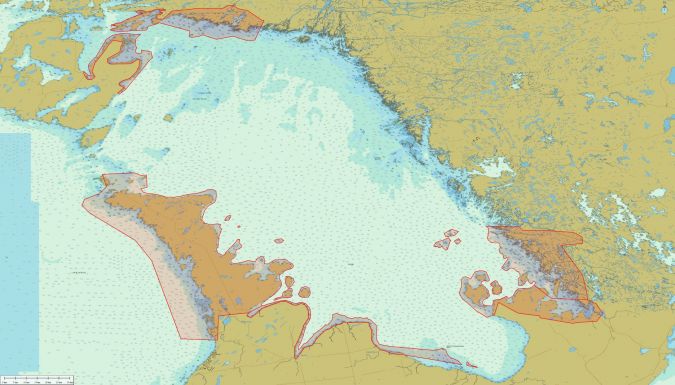
Fugro is mobilizing its Rapid Airborne Multibeam Mapping System (RAMMS) to Ontario, Canada, to acquire 3,147km2 of high-resolution bathymetry data over Lake Huron for the Canadian Hydrographic Service (CHS). The survey is expected to last six months from data collection to data delivery and will support the agency’s ongoing nautical charting updates in the country’s Great Lakes region.
Fugro has used RAMMS throughout North America, the Caribbean and Europe since launching the next-generation airborne Lidar system in 2018. In addition to nautical charting, RAMMS has supported offshore wind, coastal management and sea-level rise projects, in line with Fugro’s strategy of expanding into new growth markets related to energy transition and climate impact mitigation. For Lake Huron, the innovative technology will enable efficient and accurate data acquisition, despite multiple site-related challenges, including extensive areas of shallow water, complex coastlines, and relatively sparse coastal infrastructure.
“We are delighted to use our RAMMS technology on this survey for the CHS,” said Mark MacDonald, hydrography director for Fugro in the Americas. “The system’s unique design delivers high-resolution data and penetrates to water depths that meet both the demands of this survey and the specifications required for nautical charting products.”