Funding for Research for Shrimp Farm Conversion
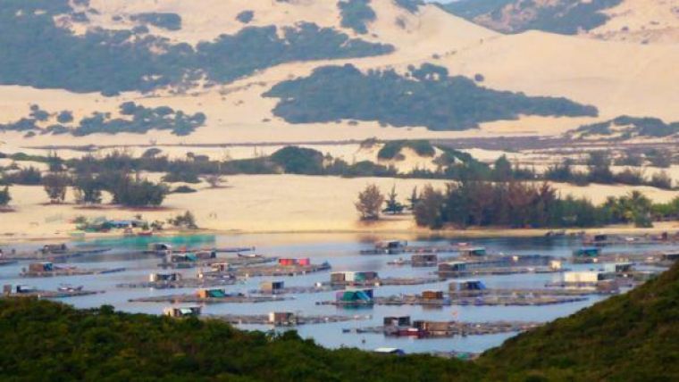
Clark Labs, USA, has received a grant from the Gordon and Betty Moore Foundation to create a baseline map of coastal habitats and the distribution of shrimp mariculture in Vietnam, Cambodia and Thailand. The analysis is based on a digital classification of LANDSAT 8 remotely sensed imagery and will also provide the basis for the evaluation of coastal habitats at risk for future conversion to shrimp farming.
Clark Labs will draw on their expertise in geospatial analysis to develop a baseline map of the current landscape-scale impacts of shrimp farms and to identify coastal areas at risk for future conversion to aquaculture.
The project will require the classification of 34 LANDSAT 8 images. LANDSAT 8 provides Clark Labs with a combination of cost effectiveness, synoptic coverage, spectral resolution and the ability to pan sharpen the critical bands needed for water penetration. This, in combination with the wide range of soft and hard image classification routines in the IDRISI system, provides the organization with the opportunity to develop a protocol specially tailored to the needs of the project.


