Heave Compensation and INS Ensured Successful Arctic Surveys
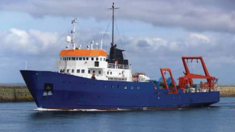
Calesurvey had been commissioned to conduct survey work in the seas around Greenland, where challenging, long-period swells are common. The company required a motion sensor, especially focussing on heave compensation performance, to use in conjunction with a variety of instruments, one of them being a R2Sonic multibeam echosounder (MBES), onboard the DP-2 geophysical survey vessel Kommandor Stuart.
iXBlue's ROVINS units were proposed to provide the necessary input required by the MBES. ROVINS is based on iXBlue's innovative fibre-optic gyroscope technology and is an underwater product intended for use by the offshore industry in water depths of up to 3,000 metres. The unit provides accurate position, heading and attitude data and combines a survey-grade, fully-featured, inertial navigation system (INS). ROVINS displays the an accuracy of 2.5cm or 2.5% of amplitude, whichever is lower.
This performance comes from using the Smart Heave algorithm, which intelligently filters the vertical acceleration data prior to integration and applies a 100-second delay on the datastream, during which short-term motion history is taken into account, ultimately to provide the best possible heave output.
When installing the unit on the Kommandor Stuart, iXBlue engineers were able to help iron out one or two minor integration issues in preparation for a trial in the North Sea. The unit could be mount on the same pole as the MBES. Having the motion of the two instruments coupled avoids problems arising from twisting and shaking of the pole during the survey operations.
The survey results from the MBES contained half of the heave artefacts that Calesurvey was accustomed to, with twice the overall heave accuracy. Using SMART HEAVE, the MBES survey was within Calesurvey's target specification and achieved Special Order standard as defined by the International Hydrographic Organisation (IHO) before any post-processing of the data.
The trial was also successful in demonstrating the ability to provide the vessel's position in the absence of a GPS input. ROVINS' in-built INS will be of use when the vessel is operating, as is planned, in higher latitudes with high sun-spot activity, when the likelihood of GPS drop-outs rises appreciably.


