Hydrography Geospatial Data Management for Malaysia
As the national hydrographic and charting authority in Malaysia, the Hydrographic Directorate of the Royal Malaysian Navy (HDRMN) has a mandate to collect measurements using modern techniques. It also provides adequate and timely hydrographic information to support safety of navigation, national development, defence and security, and numerous other activities related to the use of Malaysia’s marine environment. CARIS and local alliance partner OKENOS Sdn. Bhd. were selected to implement a Hydrographic Geospatial Data Management and Production System (HGDMPS) at the National Hydrographic Centre (NHC).
The enterprise GIS, comprised of Bathy DataBASE and HPD, will allow NHC to increase organisational capability for the management of elevation datasets, production of multiple paper and electronic chart types from a single database source, and improve the sharing of spatial information through a Marine Spatial Data Infrastructure (MSDI).
Captain Zaharuddin Mohd Maideen RMN, director of Hydrographic & Oceanographic Centre, said that RMN is facing increasing size and coverage of multibeam sonar data, increased demand for distribution of products, a desire to make use of new and historical data and to make it accessible to its clients. In mitigating the issue, and as an effort to streamline the flow of hydrographic information from acquisition through to the creation of products, RMN procured the HGDMPS in December 2013.
HGDMPS is a bathymetry and hydrographic database management system inclusive of processing and production module for hydrography and cartographic product based on concept of '1 source, multiple products'. This system is also able to construct a variety of products from a single source (primary data), instead of the present capability of constructing products from a product. This is a significant production switch, which may actually eliminate errors and offer an error free product.
NHC has taken final acceptance of the new system. During the delivery, CARIS personnel were on site for more than 10 weeks of system training, and to assist with the migration from existing tools and workflows.
NHC originally implemented CARIS tools in the 1990s to advance nautical chart production.
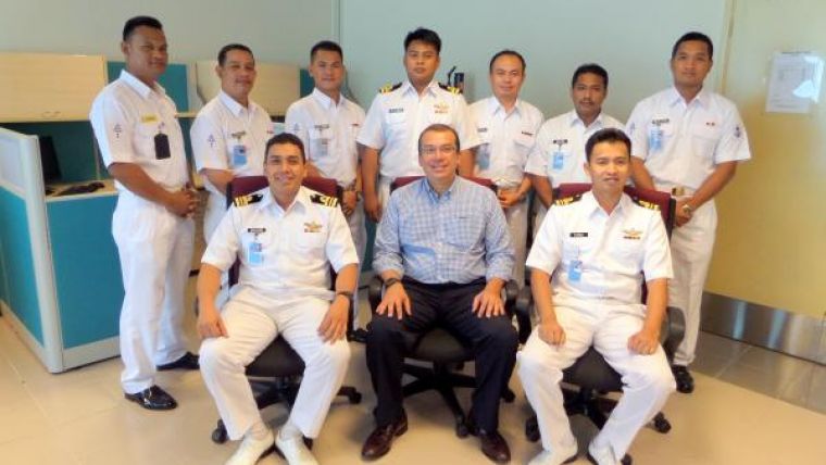
Image: CARIS’ Constantino Solano pictured with members from the Malaysian National Hydrographic Centre


