Imaging Lidar Environmental Monitoring Capabilities Highlighted
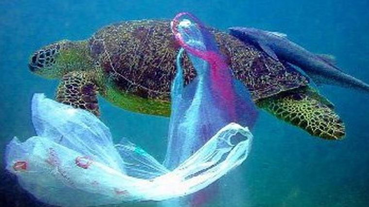
Teledyne Optech’s Coastal Zone Mapping and Imaging Lidar (CZMIL) system is a rapid environmental assessment tool for monitoring natural and man-made disasters. From detecting sewage pipe leaks, mapping oil slicks and measuring coastline changes after hurricanes, to counting underwater debris in the Great Pacific Garbage Patch, CZMIL is able to identifying and monitoring oceanic environmental changes, especially in emergency scenarios. Presentations are held during Oceans’17 MTS/IEE Aberdeen, UK and the Teledyne CARIS International User Group Conference in Ottawa, Canada.
At the Oceans '17 MTS/IEEE conference in Aberdeen, Scotland, senior scientist Dr. Viktor Feygels will present ‘CZMIL as a Rapid Environmental Disaster Response Tool’. Using case studies from CZMIL and its predecessor systems, Dr. Feygels will describe four distinct applications of Teledyne Optech Lidar bathymeters. Attendees can catch this presentation in Room 15 on 21 June 2017 at 12:10 pm.
In addition, research scientist Hieu Duong and Marine Business Manager Bob Marthouse will present ‘Small-Object Detection using Coastal Zone Mapping and Imaging Lidar (CZMIL)’ at the Teledyne CARIS International User Group Conference in Ottawa, Canada. Conference attendees can hear about these applications on Thursday, 22 June 2017, 10:05 am, in the Rideau Room.


