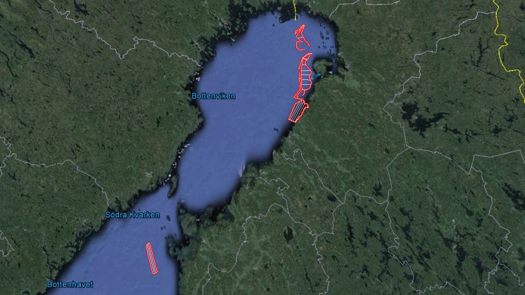
Large-scale Mapping Completed in Bay of Bothnia
Swedish survey company Clinton Marine Survey has completed the large-scale hydrographic mapping project called BBROK2015. A total of 1,311 square kilometres of multibeam data have been acquired between June and November 2015. The water depth has varied from 5.5 metres to 95 metres and a total of 5,500GB of raw data has been collected during this period.
Clinton Survey’s vessel Northern Wind was used during a large-scale mapping survey for Bay of Bothnia Raahe - Oulu - Kemi in a hydrographic survey for the Finnish Transport Agency. The survey was conducted with a Kongsberg EM2040 dual head and dual swath system.
The hydrographic survey was performed according to the IHO S-44 ed.5 standards with FTA and SMA's common implementation of it, named FSIS-44. The results of this hydrographic survey will be used in updating nautical charts and associated navigational publications in the Bay of Bothnia.
The next assignment for the Northern Wind will be a large-scale habitat mapping project in Norway, Denmark and Sweden.


