Location Search for Iron Ore Bulk Loadout
Rio Tinto sought expert input from Fugro for the pre-feasibility studies to determine the ideal position for the construction of an iron ore bulk loadout facility in Guinea, West Africa. Fugro is now actively involved in providing an integrated service encompassing geophysical and metocean surveys.
Rio Tinto discovered deposits of high grade iron ore at Simandou in Eastern Guinea, in the 1960s. In 2007 they approved funding of USD145 million for pre-feasibility studies focused on development of an iron ore mine at Simandou, a 700 kilometre rail system and a deep water port south of Conakry.
The initial involvement consisted of a geophysical survey of the bulk load-out facility, comprising bathymetric, seabed imaging and sub-seabed geological surveys. Works were conducted from a dedicated vessel provided by Rio Tinto, which proved to be a very good working platform supported by a reliable Guinean crew.
According to Brandon Fillmore, project manager for Fugro Survey Africa, the area was particularly challenging and extremely interesting, not only logistically but also geologically. "The equipment we provided for the job, including a boomer system, gave a very good insight into the geological features and allowed accurate determination of locations for soil sampling.
Second Phase
The second on-going phase of work comprises metocean data collection.
"This is the first time we have worked in Guinea, where we are involved in a year-long contract, working with Rio Tinto's Simandou project team, providing them with detailed oceanographic and meteorological data needed to determine the optimum location and design of the loadout facility," explains Richard Gaches Project Manager for Fugro GEOS.
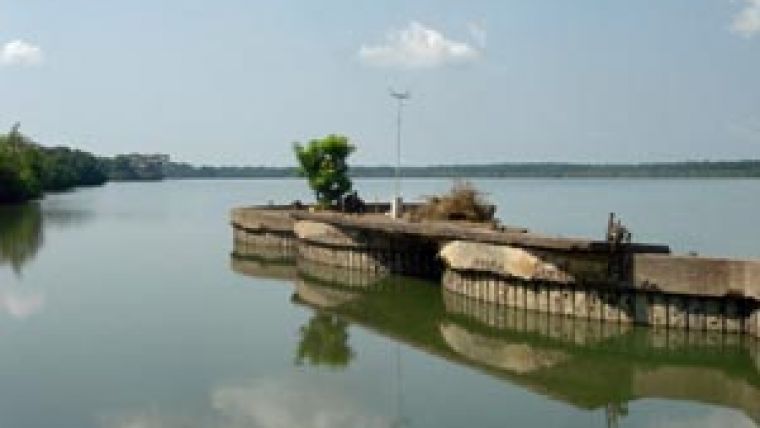
Oceanographic equipment measuring waves, currents, tides, salinity, temperature and turbidity has been deployed in seabed frames in water depths ranging from 5m to 22m, in locations up to 25km offshore. "We have also set up a meteorological station and a tide gauge in the area; and are also producing CTD profiles and current transects during service visits," adds Richard Gaches.
Oceanographic and meteorological data is essential for the design of the port facilities, and for scheduling of sailing times for large bulk carriers using the proposed loadout facility.


