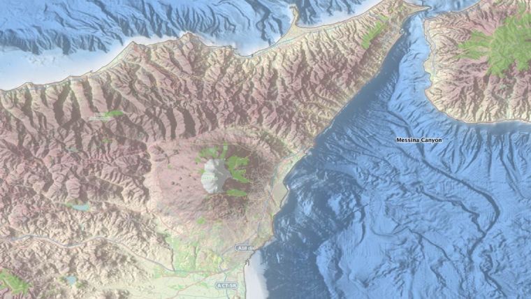
Major Release of EMODnet Bathymetry
The EMODnet DTM with digital bathymetry for all European waters has again been updated in the last year and is now publicly available for browsing and downloading from the portal. The number of survey datasets and composite DTMs used as data sources has increased from approx. 7,000 to more than 7,700. These survey datasets have been contributed by 31 data providers from 18 countries and concern more than 160 data originators. References to the used data and their data holders can be found in the source references layer. The resolution of the DTM is a grid with 1/8 * 1/8 arc minutes (approx. 230 metres).
Altogether the EMODnet DTM contains 1,092,115,678 data points (28,799 rows x 37,922 columns) which are divided over 16 tiles which can be downloaded freely in various formats. Users can view and browse through the DTM using the Bathymetry Viewing and Download service, which also allows them to download tiles. The NetCDF format can be used in combination with the 3D viewer software, which are available at the portal. When trying the Bathymetry Viewing and Download service, it is recommended to empty the browser cache.
Further upgrading of the EMODnet DTM is planned incorporating even more surveys and further improvement of the digital bathymetry. Therefore potential survey data providers are still invited to contact the organisers to help generate an even better DTM product.


