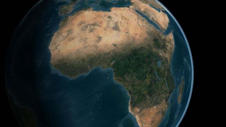
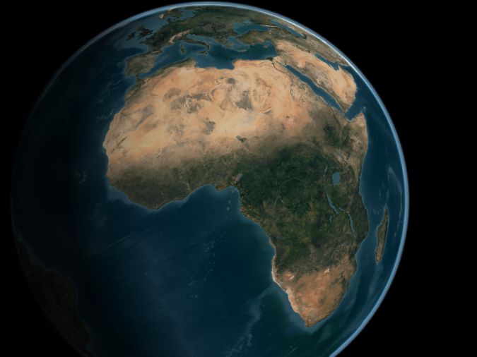
Mapping Africa's Seafloor
A two-part webinar series entitled ‘Mapping the Seafloor around Africa’ was jointly organized by the IOC-UNESCO Sub-Commission for Africa and the Adjacent Island States (IOCAFRICA) and the Nippon Foundation-GEBCO Seabed 2030 Project’s Atlantic and Indian Oceans Regional Center, on 18 February and 24 February 2021. The webinars brought together stakeholders from the region to discuss bathymetry status and needs with the goal of uniting the seafloor mapping community to explore the challenges and opportunities in seafloor mapping around Africa. This is a very relevant topic, since much of the ocean is unknown and one of the recurring challenges cited is insufficient data to support the harnessing of the ocean economy in Africa.
The first session of the series, entitled ‘Status of Seafloor Mapping in Africa’ and held on 18 February, focused on taking stock of achievements gained in mapping the seafloor around Africa, introducing the Nippon Foundation-GEBCO Seabed 2030 Project, and reviewing data currently included in the freely-available GEBCO ocean map for Africa. Furthermore, presentations were made by regional coordination groups including UNESCO/IOCAFRICA, the UNEP Nairobi Convention Secretariat, Benguela Current Commission and The Nippon Foundation-GEBCO Seabed 2030 Project.
It was outlined that the UN Decade of Ocean Science for Sustainable Development offers opportunities for partnerships, in particular in: capacity development; focusing on ocean mapping to meet growing needs of big data analysis and visualization; developing ocean mapping applications that support the sustainable blue economy, marine spatial planning and SDG implementation; and strengthening data collection capacities through the deployment of innovative technologies.
Comprehensive Seafloor Mapping by 2030
The second session of the series, entitled ‘Achieving Comprehensive Seafloor Mapping in Africa by 2030’ and held on 24 February, aimed to identify means to collaboratively develop strategies and priorities for actively engaging stakeholders to help reach the common goal of comprehensive seafloor mapping in Africa by 2030.
Three mapping initiatives were highlighted: iAtlantic, the Crowdsourced Bathymetry and Seabed 2030 coordination for the Southern African and Islands Hydrographic Commission, and Academic-Industry Collaboration in South Africa. Discussion focused on how to meet user needs with respect to mapping the seafloor, ways of enabling knowledge and data sharing in the region, and the best ways of leveraging on global efforts including Seabed 2030 and the UN Decade of Ocean Science for Sustainable Development to help bathymetry mapping efforts around Africa.
It was agreed that stakeholders’ collaboration and coordination are absolutely critical for achieving the bold goal of comprehensively mapping the seafloor around Africa by 2030. This can be achieved by identifying and taking advantage of opportunities provided by maritime industries (oil & gas, fisheries, tourism, transport, etc.) to gather important marine ecosystem data which would otherwise be difficult and expensive to obtain. In addition, it was clear that knowledge and data sharing is necessary in efforts to promote local and regional research, as are stimulating interest and mobilizing continued research within the field of bathymetry in the region.
Finally, the participants agreed that there is a need to work towards the formulation of a collaborative and coordinated plan to map the seafloor around Africa and to share resulting data and knowledge.


