Mapping Malta’s Seafloor with Satellites
A project awarded by the Malta Council of Science and Technology (MCST) through the Space Research fund call 2022 and sponsored by the European Space Agency (ESA) will allow researchers to develop methodologies to map the seafloor of the Maltese archipelago.
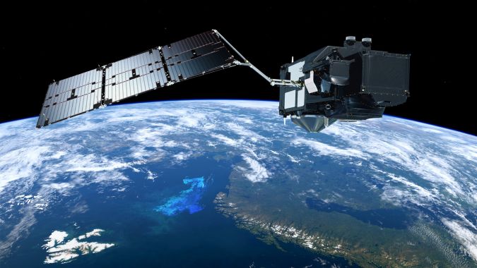
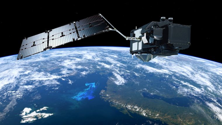
The project, called BathMalta, will have a duration of two years and will use satellite systems, in particular Sentinel-2 and Sentinel-3 from the European space programme Copernicus, to retrieve detailed images of the seafloor in the nearshore and coastal areas of Malta, with an average maximum depth of 25 to 30 metres.
Avoiding the Use of Large Vessels
Satellite-derived bathymetry (SDB) is a cost-effective method that has been supporting hydrographic surveys for the last 30 years. In the last decade, SDB has undergone rigorous scientific development, allowing surveys to avoid the use of large vessels in shallow areas where this is impractical. The methodology put in place by the research team will exploit the penetration depth of light in the water column to reconstruct the depth of the seafloor (bathymetry) and its morphology.
The project will be led by Prof. Aaron Micallef, from the Marine Geology and Seafloor Surveying research group, and Dr Adam Gauci, from the Oceanography Malta research group, both from the Department of Geosciences within the Faculty of Science at the University of Malta. Local companies and agencies will benefit from the outcome of this research since it will support work and commercial operations in the areas of Malta that are characterized by shallow depth.


