More ENCs for Greenland on the Way
The Danish Geodata Agency recently announced that it is ramping up the pace of its electronic nautical charting of south-western Greenland.
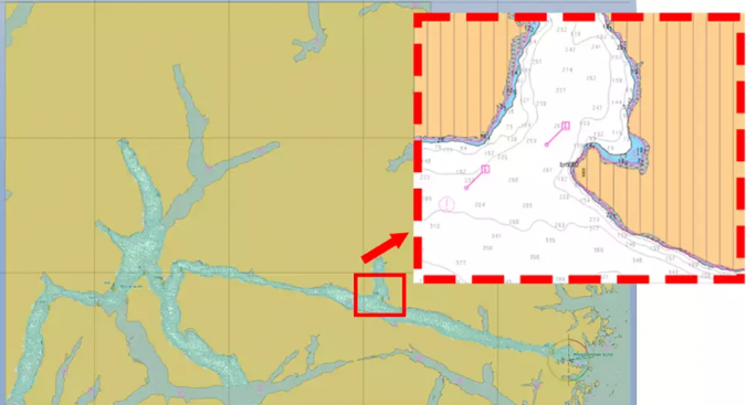
Following a successful pilot project in 2018/2019, the Danish Geodata Agency will publish a number of special nautical charts in 2021 that, similar to standard ENC and newly published paper charts, are adapted to modern GPS navigation while containing less data. The ENCs are referred to internally at the Danish Geodata Agency as ‘ENCs with limited content’, and they are intended to help ensure safer maritime travel in Greenlandic waters.
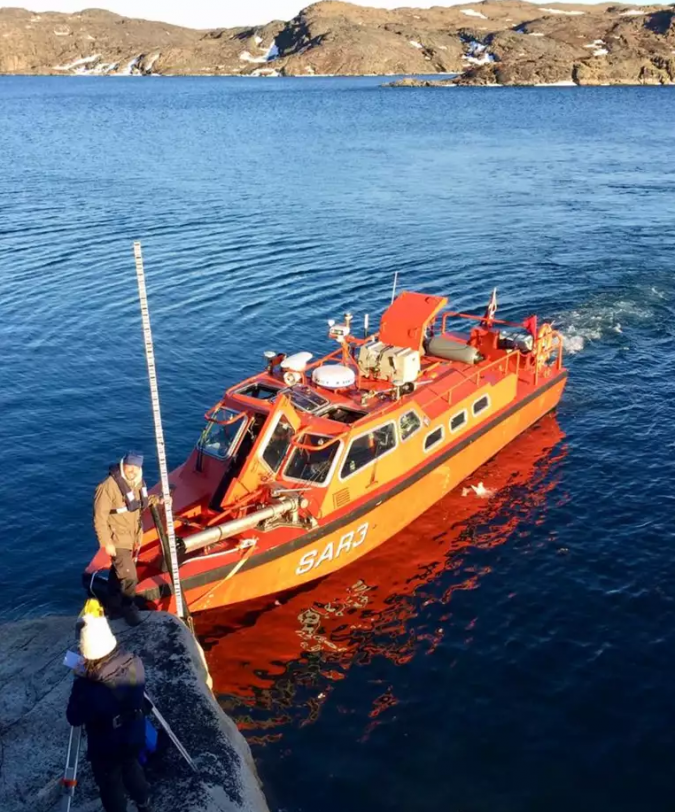
“We have large quantities of up-to-date hydrographic survey data lying around, and ENCs with limited content give us the opportunity to release that data faster than has currently been the case as well as get the data out there where it can help those who could benefit from it: the users. This results in safer maritime travel in the surveyed waters and thereby safer navigation for seafarers,” explained Elizabeth Hagemann, head of division at the Danish Geodata Agency.
Base Content ENCs will be published as standard ENCs that can be used in the electronic navigation systems of maritime vessels, and they will also be available to the Danish Geodata Agency’s resellers that supply ENCs to users such as boaters and fishermen.
“It's really exciting with ENCs with limited content. We are very excited that the Danish Geodata Agency can launch updated data faster than otherwise expected to our users in Greenland,” Kenneth Lund Bøjler, head of department in the Ministry of Housing and Infrastructure in Greenland, added.
Not a Substitute for a Paper Chart
Users should note that ENCs with limited content only contain the most necessary data, including new accurate depth data, a new georeferenced coastline and the data required for safe navigation, such as lighthouses, beacons and cables. It may, therefore, be necessary to also have a paper nautical chart on board when navigating through areas where hydrographic survey data is not as up to date.
One of the benefits of ENCs is that they are available to anyone who owns a chartplotter or tablet and has a subscription with one of the Danish Geodata Agency’s resellers that sell ENCs.
“We expect that electronic nautical charts will be adopted by more types of users, such as dinghy sailors and boaters who do not traditionally rely on nautical charts during their voyage. A possible extra benefit of the new nautical charts is that it will be possible to view a lot of details about depth variations, which could be particularly interesting to fishermen,” said Hagemann, without guaranteeing, however, that using the charts would lead to catching more fish!
“The agreement between the Greenlandic Government and the Danish Geodata Agency was revised in 2017 and a new production plan was drawn up in 2018 with an expected completion in 2026. We are thus looking very much forward to the agreed charts being completed, but are also pleased with this initiative, which is expected to benefit the marine safety and fishing in the meantime,” Kenneth Lund Bøjler concluded.
The Danish Geodata Agency expects that, by the end of 2023, the ENCs with limited content will result in modern and comprehensive electronic nautical charts covering all the areas in south-western Greenland that the agency possesses depth measurement data on.
Source: Danish Geodata Agency.