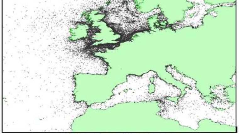
More Wrecks in Database Than Charted
Although there are thousands of recorded shipwrecks, many of them are not shown on navigation charts, since such charts only contain wrecks which are considered to be a navigational hazard. SeaZone provides a database of UK wreck information plus extensive worldwide coverage. The data has been captured from multiple sources, detailing wreck location and additional information including wreck depth, identification, state, cargo and circumstance of loss.
SeaZone can provide information relating to wrecks in a specific geographic area or can make the whole wreck database available under license. This information is fully available for use in customer GIS systems.
SeaZone wreck data is used by a diverse range of organisations, including government departments, research organisations, archaeology consultants and diving groups.


