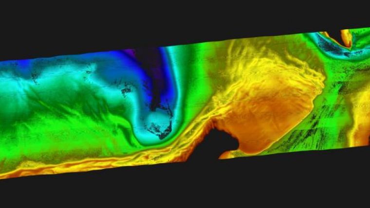
Multispectral Lidar Solution for Shallow-water Surveys
Leica Geosystems and Airborne Hydrography AB have presented Chiroptera II, a Lidar solution for topographic mapping and shallow-water surveying in depths of up to 15 metres. The system simultaneously captures the full waveform in both the 35kHz bathymetric channel and the 500kHz topographic channel to provide high-detail maps for environmental and coastal monitoring, infrastructure planning, and other near-shore applications.
The latest version incorporates the Leica RCD30 80-megapixel medium-format camera, NovAtel SPAN GNSS-IMU subsystem, Leica MissionPro mission planning software and Leica FlightPro flight navigation software. It also features a new scanner package that allows installation in the Leica PAV100 stabilised mount, providing perfect stabilisation and reducing the number of flight lines needed, especially in turbulent weather.
Anders Ekelund, managing director of Airborne Hydrography AB which is part of Leica Geosystems Geospatial Solutions Division, explained that Chiroptera II is a multispectral system designed specifically to excel at both shallow-water and topographic mapping.
Being able to collect both bathymetric and high-point-density topographic data, plus high-resolution aerial RGB images co-aligned with infrared images, all with a single sensor, opens up a new field of applications within coastal monitoring, coastal assets inventory, sea-bed environmental monitoring, charting applications, infrastructural planning, coastal erosion monitoring, sea-bed classification and other applications.


