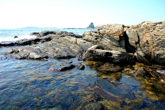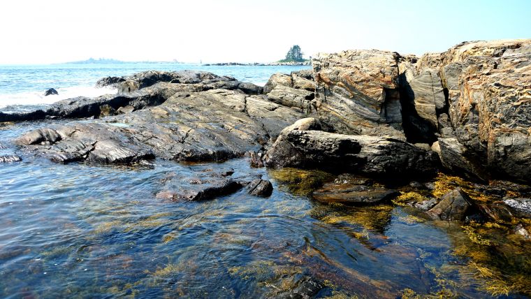
NV5 Awarded NOAA Contract to Support Shoreline Mapping in Maine
NV5 Global, a provider of technology, conformity assessment and consulting solutions, was recently awarded a US$9 million contract by the National Oceanic and Atmospheric Administration’s (NOAA) National Geodetic Survey to provide topobathymetric Lidar, 4-band imagery and mapping of the shoreline of Maine, a Northeastern state of the United States.
Under the two-year contract, NV5 will deliver accurate and consistent measurement of the shoreline to support marine navigation safety, nautical charting, marine debris surveys and marine resource management assessments. Geospatial data for the project will be obtained through topobathymetric Lidar collection and processing and 4-band imagery of 5,000 square kilometres of coastal Maine to provide views of both the shoreline and shallow water coastal area.
“We are pleased to continue our work with NOAA to support the accurate measurement of the nation’s shoreline,” said Dickerson Wright, chairman and CEO of NV5. “Our innovative work with topobathymetric Lidar has made shoreline data acquisition possible in some of the most difficult coastal terrains and will support the work of marine industries and multiple government organizations.”