News
ORCA Pilot Chart Mapper Increases Pilot Flexibility
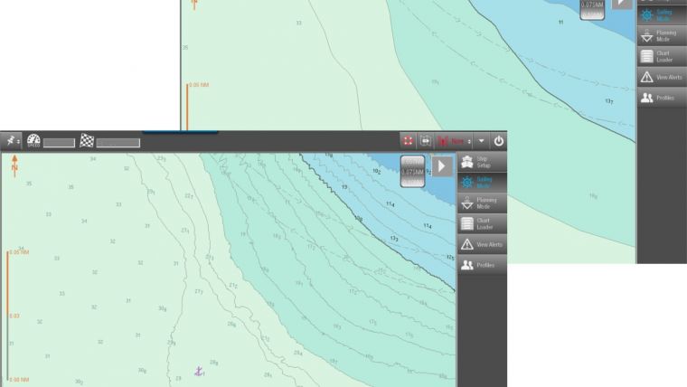
ORCA Pilot Chart Mapper is a new complementary tool for SevenC's PPU software, ORCA Pilot G2. It has been developed to make pilots more independent, flexible and up to date when it comes to high-precision charts in local areas. Chart Mapper creates an optional chart layer with high-density depth information for display in a PPU within seconds!
It is common practice to export and exchange depth information data in xyz format. ORCA Pilot Chart Mapper reads xyz point cloud data and processes it to create S-57 high density bathymetry layers – e.g. bathymetric ENCs.


