Over 1 Million Hours Wave Data Recorded
The Centre for Environment, Fisheries and Aquaculture Science (Cefas, UK) has recently acquired more than 1 million hours (2 million records) of wave data. This equates to approximately 114 years’ worth of data. These data were collected mostly in areas where intense maritime operations (e.g. heavy shipping and fishing traffic, operational wind farms, etc) and harsh environmental conditions exist.
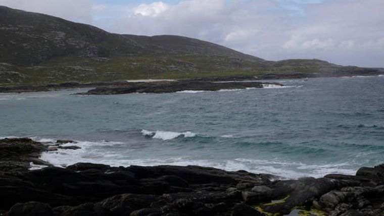
For instance, conditions at a site west of the Outer Hebrides, Scotland, during February 2013 saw significant wave heights of up to 16.4 metres being recorded (higher than three standard double-decker buses). Despite the potential risks, Cefas achieved a data-recovery rate of more than 95% during that month.
Cefas Metocean Project Manager Dr David Pearce said that the minimal downtime demonstrates Cefas’ reliability on metocean-related projects with swift, efficient responses to equipment interaction with third parties and redeployments.
Monitoring the marine environment using autonomous systems provides a cost-effective and scientifically robust approach to data acquisition. With recent technological developments it is possible to deploy interactive and autonomous platforms that acquire and telemeter a range of biological, chemical and physical environment parameters. This information can be used to influence real marine management decisions, and modelling and forecasting can be delivered with greater accuracy and confidence.
Apart from its own buoys and other autonomous devices, Cefas collates, processes and distributes data derived from a variety of third-party sources and other platforms. As a result, Cefas has delivered a further 7 million wave-data records – both real-time and post-recovered data – for national strategic purposes via the WaveNet programme. This programme is part of the UK Coastal Monitoring and Forecasting service and provides a strategic wave-monitoring network for the UK. With records usually spaced at 30-minute intervals, the data collected are used by the Environment Agency for flood-risk management and the Met Office for its operational waveforecasting models. In addition, the long-term data sets (>5 years) are useful for marine climate change studies.
The WaveNet portal is an interactive GIS-based solution that can be manipulated by users to focus on a geographic area, specific deployments or to select specific marine data parameters (e.g. significant wave height). Both recent and near real-time wave data are also enabled for mobile internet browsing.
A wide range of other marine users now have free access to the data – port construction and access operators, sailors and surfers, and the general public.
Image: Outer Hebrides. Image Courtesy: Captain Oates (via Flickr).


