PMGS Measured Japan Earthquake Lurch
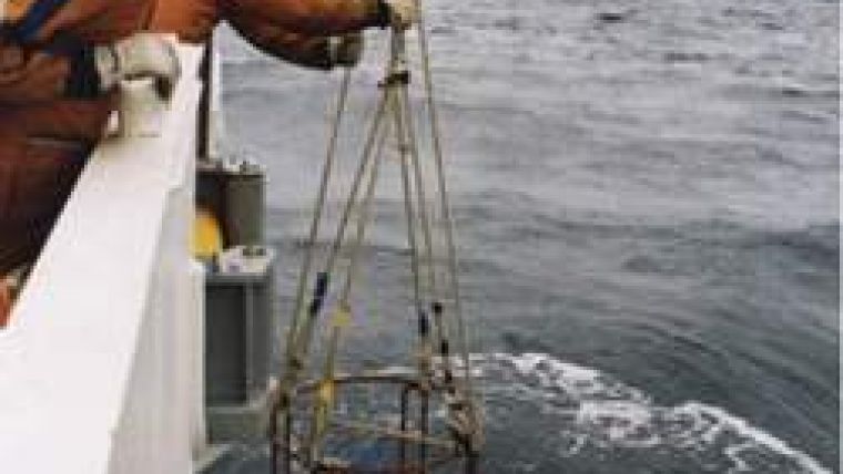
LinkQuest's Precision Marine Geodetic Systems (PMGS) are specially designed for seafloor movement monitoring. They are capable of accurate positioning within 0.5cm for up to 7,000m in range. LinkQuest has been working with the Japan Marine Safety Agency (JMSA) and Japan Coast Guard since November 1999, and more than 100 PMGS transponders have been deployed on Japan's sea floors.
Some of these PMGS transponders were deployed about 10 years ago along the fault responsible for the Magnitude 9.0 earthquake occurred on 11th March 2011. The direct measurements conducted by Japanese scientists revealed horizontal seafloor movement of up to 24 metres and a vertical seafloor movement of up to 3 metres. These measurements provided important scientific data to modelling and analysis of the earthquakes and tsunamis in the area.
Measurement of the movement of the seafloor is very important to modelling, monitoring and analysis of earthquakes and Tsunamis. LinkQuest is continuing to work with the Japan Coast Guard to deploy more PMGS transponders in Japan's offshore areas with more PMGS transponders planned for shipment this year.


