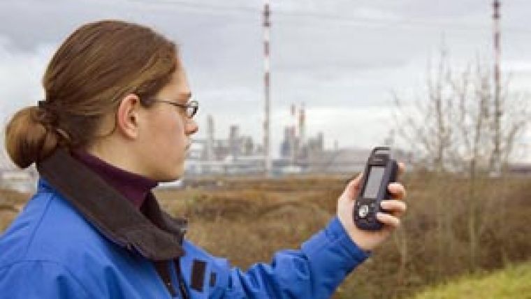
Rugged, Entry-level, GIS and Mapping Solution
Magellan has introduced the latest addition to its MobileMapper GIS and mapping line of products - the MobileMapper 6. A rugged, waterproof, handheld GPS/GIS receiver, the MobileMapper 6 fulfills the requirements for low-cost, professional GIS field data collection.
MobileMapper 6 fills a market gap in the data collection field between high-cost devices and consumer-grade products. It is expected to particularly appeal to natural resource organisations, oil and gas, utilities, government agencies, and businesses large and small that need a highly-rugged, robust GIS unit that can collect geographic data with 2-5 metre accuracy in real-time with SBAS corrections.
The MobileMapper 6 is a Windows Mobile 6 open platform, unlike competing consumer-type units, it offers full compatibility with popular GIS software to enable companies to select and use the GIS software of choice. In addition, unlike PDA devices, the MobileMapper 6 is highly rugged for rough-and-tumble business applications. The MobileMapper 6 offers the professional features associated with more costly high-end GIS/GPS units, yet it is price-competitive with consumer-grade GPS.
It comes standard with an integrated 2-megapixel camera that can take photos, which can be tagged with the GPS location and used as a point description data in any GIS application, such as Magellan's Mobile Mapping software, ESRI's ArcPad or other third-party software. It also includes a built-in microphone to record and replay voice notes to enrich the collected data.
The MobileMapper 6 comes with Microsoft Windows Mobile version 6, along with a touch-screen and Bluetooth for wireless connectivity. The rugged design of the MobileMapper 6 is impact resistant and water- and dustproof for use in harsh and difficult field conditions. It is able to withstand a one-meter drop to solid ground and water submergence.
Weighing less than 224 grams and measuring approximately 14.6cm x 6.4cm x 2.9cm, the MobileMapper 6 is lightweight and compact for easy, convenient use. It provides autonomy with up to 10 hours of operation on a set of two AA alkaline batteries, easily exchangeable in the field. Data collection is enabled by 128 MB of non-volatile Flash data storage, and storage of large amounts of field date is made possible through a Secure Digital (SD) card slot that accepts SD cards with up to 4 GB of memory.


