Saildrone partners with Seabed 2030 to advance ocean mapping efforts
The Nippon Foundation-GEBCO Seabed 2030 project and Saildrone, a leading provider of unmanned surface vehicles (USVs), have signed a memorandum of understanding (MOU) to collaborate on advancing ocean mapping technology in support of the global effort to map the entire ocean floor.
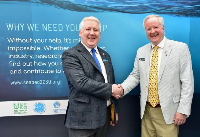
The two parties formalized the partnership at the recently held Ocean Business 2023, an event connecting thousands of ocean science and technology professionals from across the globe to define the future of ocean technology, in Southampton, UK.
Seabed 2030 is a collaborative project between The Nippon Foundation and GEBCO to inspire the complete mapping of the world’s ocean by 2030 and to compile all bathymetric data into the freely available GEBCO Ocean Map – it is also a formally endorsed Decade Action of the UN Ocean Decade. GEBCO is a joint programme of the International Hydrographic Organization (IHO) and the Intergovernmental Oceanographic Commission (IOC), and is the only organization with a mandate to map the entire ocean floor.
Long-endurance, uncrewed ocean mapping operations
Based in the US, Saildrone is a pioneer of autonomous surface vehicles. Its global fleet of wind and solar-powered ocean drones monitors the planet in real time, both above and below the surface. Saildrone vehicles have spent almost 25,000 days at sea collecting vital data that is invaluable to the global pursuit of a complete map of the seabed.
In 2021, Saildrone’s flagship USV – Saildrone Surveyor – mapped 11,800 square kilometres of the seafloor during its maiden voyage from San Francisco to Honolulu. More recently, it mapped more than 45,000 square kilometres of previously unexplored ocean floor during a months-long survey around Alaska’s Aleutian Islands and off the coast of California. The use of renewable wind and solar energy as its primary power source makes the Saildrone Surveyor extremely capable of long-endurance, uncrewed ocean mapping operations, as well as optimizing it for deep-ocean mapping.
“We can only realize our goal of a complete map of the ocean floor if we mobilize the international community and work together,” said Jamie McMichael-Phillips, project director of Seabed 2030. “We are therefore delighted to partner with Saildrone and leverage their expertise in unmanned surface vehicles for ocean mapping.
“The capabilities of Saildrone’s fleet will greatly enhance our ability to obtain essential data and increase our understanding of the ocean, allowing us, in turn, to make informed and impactful decisions with regard to the future of the planet.”
“Saildrone’s vision is of a healthy ocean and a sustainable planet. A complete map of the ocean floor is fundamental to achieving that vision. We are proud to collaborate with Seabed 2030 to enable the mapping of our entire seabed, for the benefit of the global community,” said Saildrone founder and CEO Richard Jenkins.
All data collected and shared with the Seabed 2030 project is included in the free and publicly available GEBCO global grid.