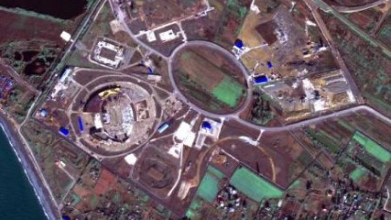
Satellite images for Lab of Natural Risks Assessment
Satellite images are planned to be used by the Laboratory of the Onshore Natural Risks Assessment, Russia. The information about natural disasters is to be prepared to be used by different warning systems, according to the Natural Risks Assessment Laboratory head, Oceanologist Peter Koltermann.
The Lab is created at the Department of Geography of the Moscow State University. A university-based geoportal is being installed now at the Department of Geography to provide access to space images of different resolutions. A possibility of operational updating the geoportal using UniScan space data reception stations will also be implemented.
Space images, available at the university geoportal, can be used by the researchers from the new Laboratory of Onshore Natural Risks Assessment. The Laboratory is being established as per the project awarded with a governmental grant in late October 2010. The interview with P.Koltermann, in which the scientist speaks about the tasks of the Laboratory, is available at the STRF.ru portal.


