Seabed 2030 and Norbit Oceans collaborate to enhance global ocean mapping
The global effort inspiring the complete mapping of the world’s ocean floor – The Nippon Foundation-GEBCO Seabed 2030 Project – has announced its newest partnership with Norbit Oceans, a leading provider of underwater imaging and mapping technology. The parties will work together to advance the field of ocean science, and obtain a complete map of the entire ocean floor.
With a focus on providing technology solutions to global maritime markets, Norbit Oceans is one of three segments within the global technology company Norbit, headquartered in Norway. Norbit Oceans offers advanced solutions for seafloor mapping, environmental monitoring, tailored products for the aquaculture and security markets and customized cables.
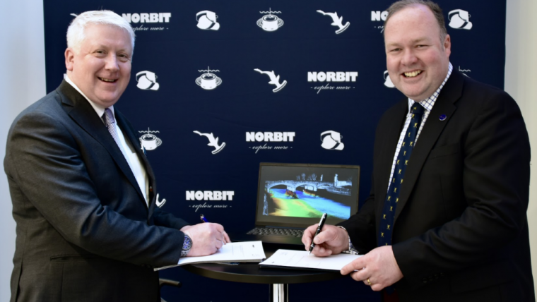
Under the partnership, which was entered into in Monaco during the 3rd IHO Assembly, Norbit Oceans will strengthen the capabilities of Seabed 2030 and its network by providing innovative solutions involving bathymetric survey datasets, research voyages and general survey activities.
Advanced multibeam sonar technology
Just one month earlier, Norbit Oceans launched its next-generational stabilized multibeam sonar system in Southampton, ahead of Ocean Business. The new ‘iWBMSh Stabilised’ system provides active roll, pitch and yaw stabilization plus dual swath capability in a compact and lightweight form.
“Norbit Oceans’ technology solutions and expertise in underwater imaging will be invaluable to our mission of mapping the entire ocean floor,” commented Jamie McMichael-Phillips, Seabed 2030 project director. “This collaboration will bring us closer to achieving our ambitious goal, while advancing scientific understanding of the world’s marine environment.”
“We share Seabed 2030’s values in social responsibility and sustainability,” said John Fraser, Norbit UK and Middle East Director. “We’re therefore delighted to join the project and support the delivery of its crucial objective, which is essential to the sustainable management of the planet.”
All data collected and shared with the Seabed 2030 project is included in the free and publicly available GEBCO global grid.

About Seabed 2030
A collaborative project between The Nippon Foundation and the General Bathymetric Chart of the Oceans (GEBCO), Seabed 2030 seeks to inspire the complete mapping of the world’s ocean by 2030, and to compile all the data into the freely available GEBCO Ocean Map. Seabed 2030 is formally endorsed as a Decade Action of the UN Ocean Decade. GEBCO is a joint programme of the International Hydrographic Organization (IHO) and the Intergovernmental Oceanographic Commission (IOC), and is the only organization with a mandate to map the entire ocean floor.


