Seabed Digital Elevation Model to Accompany Datasets
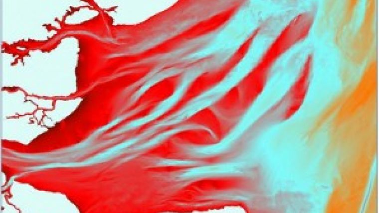
Independent marine data management and publishing specialist OceanWise Ltd (UK) has established off-the-shelf marine mapping datasets including Raster Charts and the vector dataset Marine Themes. To accompany the datasets, OceanWise has created Marine Themes DEM, a seabed digital elevation model (DEM) at 1 and 6 arc seconds utilising single and multi-beam hydrographic survey data from the UK Hydrographic Office and other agencies.
Offering exceptional value, OceanWise mapping and data management products are being used widely across central and local Government, NGOs and the commercial sector.
To accompany the above datasets, OceanWise has created Marine Themes DEM, a seabed digital elevation model (DEM) at 1 and 6 arc seconds utilising single and multi-beam hydrographic survey data from the UK Hydrographic Office and other agencies. Data derived from Electronic Navigational Charts (ENCs) is used to provide additional coverage.
OceanWise Marine Themes DEM offers the following key advantages:
1) Survey data modelled to create an accurate and seamless surface of the seabed
2) Coverage data describing the source data used to create the DEM in any given area
3) Advanced de-confliction methodology improving continuity between adjacent surveys
4) Height and slope attributed coastline increasing accuracy within the coastal zone
5) Improved interpolation algorithm providing more natural shape (i.e. no flat triangles)
6) Ongoing maintenance schedule to ensure the latest survey data is incorporated
7) Already exceptional value, DEM image files in GeoTIFF (or ECW) format deliver even greater cost savings for many applications including Web GIS.
In addition to the DEM, OceanWise distributors can provide access to the actual survey data (i.e. soundings) used in the DEM creation. A GIS compatible data file showing all available surveys is available on request. The datasets are available for download from established digital mapping providers, emapsite.com and FIND Mapping.


