SeaZone Supports Campaign to Protect UK Seas
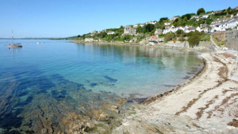
SeaZone is backing a major campaign to establish Marine Protected Areas around the UK. The specialist in marine information and mapping has donated highly detailed coastal maps of the UK to the Marine Conservation Society, a charity dedicated to protecting the seas, shores and wildlife. The SeaZone Chartered Raster maps will be used to build an interactive website promoting marine reserves at the local, regional and national level, encouraging the general public to votes for sites they believe need protection.
The Marine Conservation Society (MCS) is the UK charity dedicated to caring for the seas, shores and wildlife. Since its inception in 1983, MCS has campaigned for UK seas to be better protected by using Marine Protected Areas (MPAs). Scientific evidence has proven that well-managed MPAs increase biodiversity of marine life, and lead to the recovery of some fisheries. Without well-managed MPAs, MCS believes that the marine ecosystem won't recover to anything approaching its natural state prior to man's significant impact, which commenced with the advent of industrial trawling 120 years ago.
"The maps SeaZone kindly donated will prove essential to our ongoing work establishing and maintaining protection for some of our most vulnerable coastal areas," commented Dr Jean-Luc Solandt, Biodiversity Policy Office at the Marine Conservation Society. "Using the Chartered Raster Maps we have built a website with over 70 interactive maps in order to show the public recommended reserves from all around the UK, Isle of Man and Channel Islands. The website also includes a section which allows visitors to nominate any area they feel deserves protection."
The SeaZone Chartered Raster maps are created from scanned and geo-referenced Admiralty Charts and are designed for use within a Geographical Information System (GIS) without the need for additional software or specialist knowledge. Providing ideal backdrop mapping for a variety of applications, the data can be combined with other datasets to make the display and dissemination of maps within reports or over the Internet simple and effective.
"Prior to this donation the only map we had was a plain raster map that came as part of start-up data with our GIS," continued Dr Solandt. "With the SeaZone data we will be able to easily produce maps at a much higher resolution, providing greater detail for sea users and an all-round more professional product".
The votes from the website will be recorded by the Marine Conservation Society to demonstrate support for local MPAs and marine reserves. The results will be used by planners to feed into national and regional marine protected area designation projects. The UK government is currently supporting four regional England MPA designation programs. Wales has its own MPA development program, and the Scottish Marine Bill makes provision for MPAs to be developed to recover biodiversity. The Isle of Man and Jersey are also proposing MPAs in their jurisdictions.
For more information, visit www.SeaZone.com.


