SeeTrack Military V4 Launch at UDT in Liverpool
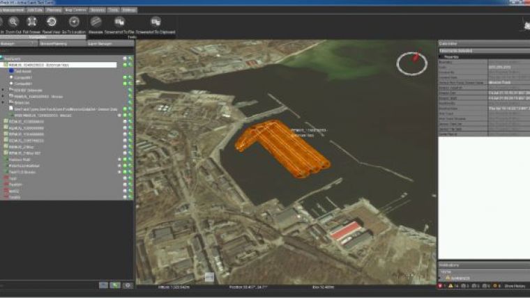
SeeByte, the global leader in creating smart software for unmanned maritime systems, has announced the launch of SeeTrack Military V4. SeeTrack Military is to benefit from improved capabilities like the ability to concurrently plan and monitor multiple missions for multiple assets from a single shared user interface. It also allows a user to post-process and store the data in a shared database and visualise it in both GIS and sensor-specific displays.
The software is built using a Service Orientated Architecture and provides users a simple software development kit. Operators are able to operate and integrate new AUVs, diver handheld systems, ROVs and towfish sonars using a common interface. Military users are offered simple to use and powerful contact management databases compatible with popular tactical decision level software suites. Compatibility with Version 3 of the software is preserved.
SeeTrack Military is an open-architecture platform solution for rapid on-site analysis and data fusion that can be easily adapted for specific user needs. Developed as a mission-planning, monitoring, post-processing and reporting tool, this software technology has been successfully deployed on numerous surveys, military and security operations and scientific experiments.
Demonstrations of SeeTrack Military V4 are to take place in booth C30 at UDT, from 10 to 12 June 2014 in Liverpool, UK. The sales team of SeeByte is available to arrange a slot.


