Shallow Survey 2018 Announces Survey Areas and Instructions
The 2018 edition of Shallow Survey is to take place in Newfoundland, Canada, and the instructions and areas to be surveyed have been made available. The aim of the common dataset activity is to provide the international hydrographic community with a range of shallow water hydrographic survey challenges. Five separate survey areas have been selected that offer a good variety of depth, bottom type and slope conditions. Suppliers of shallow water survey equipment and/or services are invited to contribute to the common dataset.
The organisers are encouraging use of multibeam, interferometric, sidescan and synthetic aperture sonars; airborne bathymetric Lidar; satellite bathymetry, sub-bottom profiling systems and any other innovative solutions, such as subsea camera systems. In addition, suppliers of environmental data measurement systems (current, tide, wave height, salinity, water clarity, etc.) are invited to participate. Deployment of sensors on autonomous platforms is also encouraged.
Multiple Survey Techniques
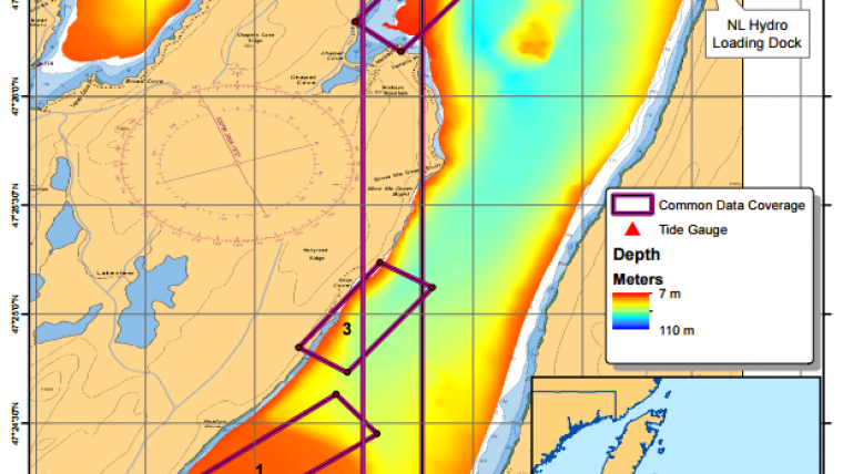
Vessel time can be scheduled by suppliers of equipment. The vessels available for the hydrographic surveys are the 7.8m and 1.5m deep Teal who and the 6.7m and 0.4m deep Gecho. With these vessels, prescribed survey areas containing a range of bathymetric and seabed geologic conditions can be surveyed. For example, water depths ranging from 0m to 25+m, steeply sloping bottom, flat bottom, hard (gravel/rock) and soft (silt/mud) bottom conditions. Suppliers of shallow survey technologies (including but not necessarily limited to multibeam, swath and synthetic aperture sonar, bathymetric Lidar, etc.) are invited to survey the prescribed areas, creating a ‘common data set’. Also sub-bottom profiling data now can be collected to recognise that this can take place in shallow water. There also are options for satellite derived bathymetry.
The surveys support a gain in knowledge on shallow-water surveying and the organisers urge to emphasise this is not a contest.
More information and booking of vessel time is available online.


