SonarWiz 5 Sonar Mapping Software Accelerated
Chesapeake Technology (USA) has released an updated version of its flagship product, SonarWiz 5. In response to customer feedback, new features were designed to speed up mission planning, target prosecution and change detection.
A new survey-line pattern option that is used when filling closed polygons simplifies the setup of survey lines in complex geographic areas. This feature was also added to the office-based product so that more users can get involved in the survey planning process.
The new target-location function survey-line feature generates a four-line search set at a user-specified range and length centred on a target location. The four lines are automatically grouped and can immediately be rotated into a more favourable survey orientation if needed. This tool was requested by several users aiming to quickly assess and prosecute sonar contacts.
Enhanced change-detection tools enable swiping of individual survey lines. This new feature gives port security specialists the ability to compare the most current survey line with a previous adjacent survey line in real time.
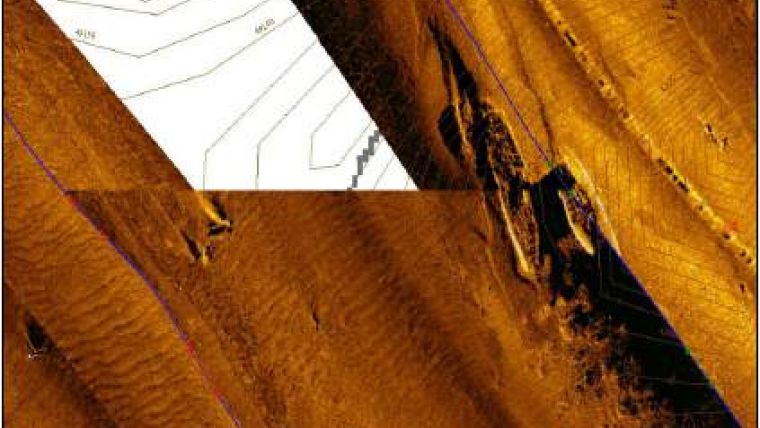
SonarWiz 5 has also had other features added that speed up the survey from planning to acquisition and final data processing.


