TCarta to Showcase SDB Products at GEOINT 2022
TCarta Marine, the Colorado-based provider of hydrospatial products, will present its satellite-derived bathymetric (SDB) data sets on Terradepth’s Absolute Ocean visualization platform for the first time at GEOINT 2022. Additional in-booth presentations will feature the latest SDB techniques for extracting water depth measurements from MAXAR, Sentinel, Satellogic and other satellite image data.
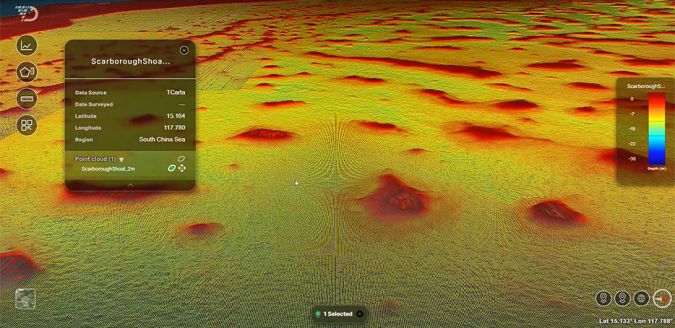
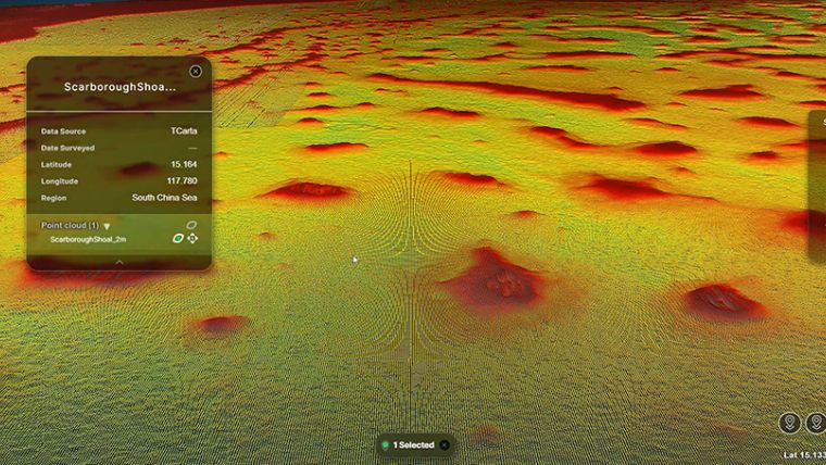
TCarta recently signed a partnership agreement with Terradepth, an organization from Austin, Texas that is committed to enhancing the world’s understanding of deep ocean ecosystems through advanced data collection and analysis techniques. Absolute Ocean is Terradepth’s cloud-based, browser-accessible ocean data management platform designed to facilitate exploration of marine geospatial data sets including multibeam, side scan, synthetic aperture sonar, Lidar and magnetometer.
“Absolute Ocean provides a unique new way to visualize and analyse TCarta SDB products,” said TCarta president Kyle Goodrich. “The platform allows users to easily overlay multiple data sets on SDB layers to gain new perspectives on the subsurface marine environment.”
TCarta will display Absolute Ocean in Booth 737 at this year’s GEOINT Symposium, which is being held on April 24–27 in Aurora (Denver), Colorado. On hand to meet attendees and make presentations will be Kyle Goodrich, TCarta president and founder; Corey Goodrich, managing partner; and Ross Smith, technical project manager.
Space-based Bathymetry from Multiple Sources
The TCarta team will demonstrate how NASA ICESat-2 Lidar data sets can be visualized and manipulated for validation of SDB products, as well as holding 10- to 15-minute scheduled in-booth presentations on specific products, data sets and case studies, including space-based bathymetry production from multiple sources in the Trident Toolbox.
Trident Tools (SDB) Geoprocessing Toolbox is TCarta’s software-as-a-service product, a series of software applications that operate within Esri ArcGIS Pro and allow organizations to perform their own extraction of bathymetric measurements from satellite, aerial and UAV imagery. The Trident Toolbox contains a pre-processing tool to allocate calibration and validation in situ source data, two algorithm workflows to derive water depth measurements using machine learning and empirical regression, and a statistics estimation tool for quality assurance and SDB validation.
With offices in the United States, Jamaica and Canada, TCarta has built an international business on cost-effectively and safely deriving onshore and offshore data sets using multispectral imagery captured by Earth observation satellites – without negative impacts on the natural habitat. TCarta products and services are relied upon by governmental, insurance, oil & gas, environmental and infrastructure development clients in applications as diverse as natural resource monitoring, tsunami modelling, disaster & hazard response and hydrologic studies.