TDI-Brooks Continues Offshore Wind Momentum on the U.S. East Coast
TDI-Brooks continues to drive forward in an emerging market, performing marine site investigations for several of the offshore wind operators on the U.S. east coast since early spring 2021. “TDI-Brooks operates four research vessels on the spot market with two U.S.-flagged research vessels dedicated to the wind farm market on the east coast. Our specialty is the survey, geotechnical and benthic components of these wind farm projects,” said Dr Jim Brooks, president and CEO of TDI-Brooks.
In April 2021, TDI-Brooks re-mobilized its two U.S.-flagged research vessels (RV Brooks McCall and RV Emma McCall) to Fall River, MA to perform over the rest of 2021 several different wind farm projects located south of Long Island, New York and south of Nantucket and Martha’s Vineyard. These projects are ongoing through December 2022 with the Emma McCall having some availability starting in early September.
The geotechnical component along cable routes and within lease blocks consisted of deploying a variety of tools including the Feritech FT550 electric and TDI-Brooks designed pneumatic vibrocorer (pVC) systems along with their Datem Neptune 5,000 and 3,000 (cone penetrometer test rigs (CPT)). The benthic components were mostly ROV transects and grab sampling. Hundreds of VCs, CPTs, ROV transects and grab/box core samples were acquired. Upon completion of the geotechnical vibrocoring, all samples are sent to the TDI-Brooks’ ISO-certified geotechnical and environmental laboratories in College Station, Texas for testing.
Sidescan Sonar and Multibeam
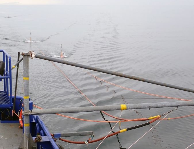
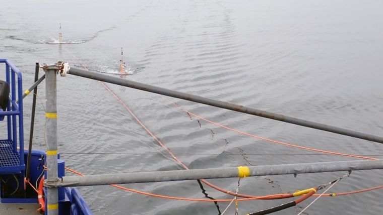
The geophysical projects consisted of sidescan sonar, TVG magnetometer, multibeam, USBL, parametric sub-bottom profiling and 2D ultra high-resolution (UHR) with single and multi-channel seismic systems to provide detailed seabed and shallow sub-surface data. The data generated supports the inter-array cables, route planning for project design via pre-lay route surveys and survey works during cable lay, including as-built surveys for cable detection (depth of burial). Geophysical and hydrographic surveys ascertain seabed bathymetry, morphology, classification, marine habitats and sub-seabed layers. The picture below shows the multi-channel streamer onboard the Brooks McCall.
Both vessels will be back in the field this month performing geotechnical and benthic sampling for another offshore wind operator off Massachusetts with follow-on work into 2023.