Teledyne Geospatial Showcases Solutions at Ocean Business 2021
Teledyne Geospatial brings its latest advancements in bathymetric Lidar and ocean mapping software solutions to Ocean Business 2021, being held at the National Oceanography Centre, Southampton, UK from 12–14 October, booth N9 & N10.
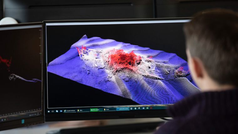
Visitors to the booth can view data streaming in real time from on-water demos processed through CARIS Onboard360. Learn about the CZMIL SuperNova, the advanced Lidar bathymeter with the highest green laser point density in its class, and real-time processing capability for reduced post-processing time. Find out about the new HIPS & SIPS 11.4 release, now with sound speed and vertical correction mode available for the first time as a SaaS licensing option.
Catch a demo of a new model for classifying sonar noise developed by the United Kingdom Hydrographic Office (UKHO) and available on the CARIS Mira AI platform. The ADMIRALTY GAM is a cloud-based service available as part of the workflow for processing sonar data in CARIS HIPS & SIPS and has been specially tailored to work with single track multibeam sonar data such as that collected on a research cruise or voyager.
Presentations by Teledyne and their partners:
- On Wednesday 13 October, from 12:00 to 13:00, join Teledyne CARIS and the UKHO for their Automation Efficiencies presentation, to be leveraged through CARIS Onboard360, CARIS Mira AI and HIPS and SIPS.
- On Thursday 14 October, from 10:30 to 11:30, attend the Teledyne CARIS presentation entitled The Application of AI in Sonar and Lidar to Automate Accurate Seafloor Results, where state-of-the-art applications utilizing advanced algorithms and machine learning will be explained and demonstrated in actual products and workflows delivered by Teledyne.
- Also, on 14 October, 13:30 to 14:30, Teledyne and Norwegian mapping firm Terratec AS will conduct a workshop entitled SuperNova: Next Generation Topo-Bathy Lidar. Presenters will discuss how the CZMIL SuperNova delivers comprehensive solutions for land and sea.
Teledyne Geospatial unifies the hardware and software expertise of both Teledyne CARIS and Teledyne Optech. The new group provides customers with innovative integrated solutions. Offerings include turnkey systems, Lidar and sonar integrated workflows and a range of systems and solutions that support holistic, precision data collection.


