The Crown Estate Commissions Latest Marine Aggregates Data
The Crown Estate recently commissioned new detailed survey work to enhance knowledge of the quality and distribution of marine sand and gravel resources in the UK and to support the sustainable management of the seabed.
The research, which has been undertaken by EGS, has captured high-quality bathymetric and geophysical data, focusing on four key seabed regions: the East English Channel, the Thames Estuary, the East Coast and the Humber.
The data and evidence captured will inform decisions relating to the future use of the UK seabed, helping to optimize the area of seabed used for aggregate dredging. This will enable the potential safeguarding of high-quality resources, while releasing other seabed for alternative uses. It will also be used to help develop national and regional resource statements, for marine and mineral policy and planning and marine development guidance.
Building a More Detailed Understanding of UK Seabed Conditions
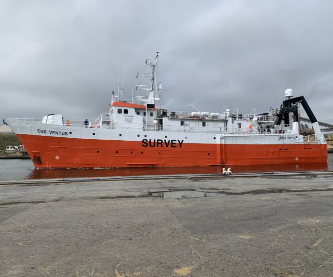
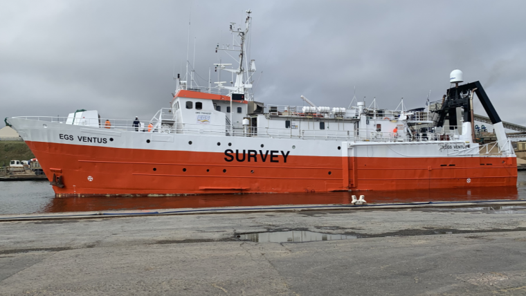
EGS has used the permanently mobilized 50m survey vessel EGS Ventus, which is operating a spread of high-resolution bathymetric and geophysical equipment. This includes a hull mounted, dual head/dual swath Kongsberg 2040 MBES system, high-resolution dual frequency sidescan sonar and UHRS boomer system.
Marine aggregates are a vital component of the building materials supply chain and are extensively used in construction and civil engineering projects, particularly in the south-east of England and south Wales.
The survey work that was recently announced builds on the ongoing research delivered by the British Geological Survey, the marine aggregates industry and The Crown Estate.
Nick Everington, portfolio manager for marine minerals at The Crown Estate, said: “We’ve been working closely with the marine aggregates industry for many years, using data captured from surveys and dredging vessels, to support the sustainable management of our seabed.
“As competition for seabed space becomes increasingly pressured, this latest work will help us build a more detailed understanding of UK seabed conditions and the nation’s current aggregate resources, helping to inform decisions about the future use of our marine environment."
Measuring the Seafloor and Mapping Sub-seafloor Structures
Gareth Stevens, EGS’ commercial manager, commented: “This contract award demonstrates the suitability of EGS Ventus as a capable survey platform in northern European waters. We are very pleased to have been selected by The Crown Estate for this work, and look forward to the opportunity to continue this relationship in the future.”
Marine geophysics is a scientific discipline that uses the quantitative observation of physical properties to understand the seafloor and sub-seafloor geology. Both active and passive sensors are used to measure the shape and hardness of the seafloor and to define and map sub-seafloor structures.
Bathymetry is the measurement of seafloor depth below a datum level using sonar pulses. The instruments used collect point data, which is at a high resolution (25cm or better, depending on water depth, vessel speed and topography) to produce a detailed elevation map of the underwater world.