The Nippon Foundation-GEBCO Seabed 2030 Project Enters New Partnership with IIC Technologies
A Memorandum of Understanding (MOU) has been signed between The Nippon Foundation-GEBCO Seabed 2030 Project and IIC Technologies Ltd. The MOU establishes a new partnership between Seabed 2030 and IIC Technologies in recognition that both parties are working to increase humanity’s understanding of the world’s oceans.
Seabed 2030 is a collaborative project between The Nippon Foundation and GEBCO to inspire the complete mapping of the world’s ocean by 2030, and to compile all bathymetric data into the freely available GEBCO Ocean Map. GEBCO is a joint project of the International Hydrographic Organization (IHO) and the Intergovernmental Oceanographic Commission (IOC), and is the only organization with a mandate to map the entire ocean floor.
IIC Technologies is an accredited provider of geospatial solutions and services. With offices in Europe, North America, India and Australasia, IIC is a truly global entity providing consultancy, training, research and development, and specialist geospatial services to clients in a range of sectors – including government, maritime, water resources, cruise line and transportation.
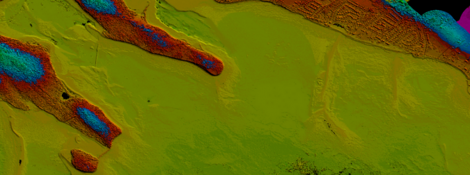
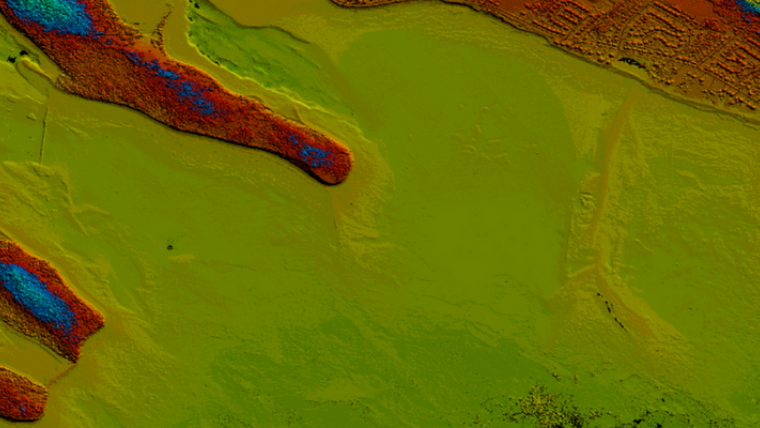
Bathymetric Data
With decades of experience in providing innovative geospatial services and solutions to the ocean mapping community, IIC will support Seabed 2030 in its aim of having a complete map of the ocean floor by 2030. In doing so, IIC will contribute bathymetric data for uptake in the global grid, as well as geospatial services in support of the initiatives of Seabed 2030’s Regional Centers where appropriate.
Seabed 2030 project director Jamie McMichael-Phillips said: “Seabed 2030 looks forward to working with IIC Technologies to identify new and innovative ways of advancing the pace and ways in which we collect bathymetric data.
“We’re pleased to see a valuable new addition to our partners, as we continue working collaboratively on an international scale to achieve our goal for the benefit of humanity.”
“At IIC Technologies, we’re committed to furthering knowledge in the geospatial domain. Our partnership with Seabed 2030 complements our own vision, whilst enabling us to play a part in achieving the Project’s aim of producing the definitive map of the oceans,” comments David Crossman, managing director of IIC Australasia.
Seabed 2030 publishes an update to the global grid annually, with the map due for completion by 2030.