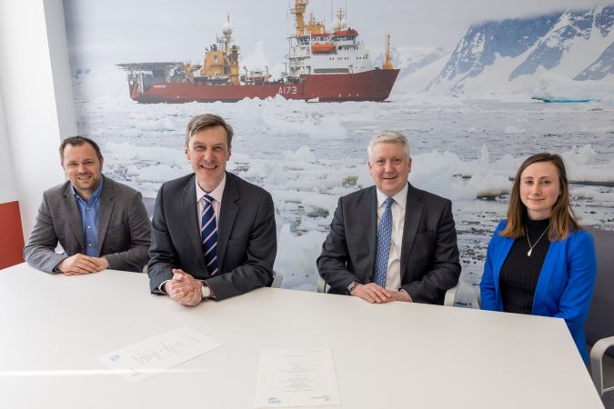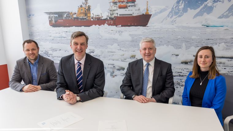
UKHO Signs Collaboration Agreement with Seabed 2030 Project
The UK Hydrographic Office (UKHO) has signed a memorandum of understanding (MOU) with The Nippon Foundation-GEBCO Seabed 2030 Project, which will see the parties work together to advance the industry’s understanding of ocean bathymetry, and in support of the Decade of Ocean Science for Sustainable Development.
Seabed 2030 – a flagship programme of the Ocean Decade – is a collaborative project between The Nippon Foundation and the General Bathymetric Chart of the Oceans (GEBCO) with the goal of the complete mapping of the world’s oceans by 2030, as well as compiling all bathymetric data into the freely available GEBCO Ocean Map. GEBCO is a joint programme of the International Hydrographic Organization (IHO) and the Intergovernmental Oceanographic Commission (IOC), and is the only organization with a mandate to map the entire ocean floor.
Bathymetric Gridded Map Products
As part of its official partnership with Seabed 2030, the UKHO will provide bathymetric gridded map products to be used by the project within the GEBCO gridded bathymetric data set. UKHO will also share and promote methods and best practices in technological innovation, infrastructure and solutions for ocean mapping and bathymetric data management.
The MOU signed today follows the technical cooperation agreement that the UKHO, Seabed 2030 and Teledyne CARIS entered into in June 2021 to advance efforts in producing the definitive map of the seafloor by the year 2030.
Commenting on the announcement, Peter Sparkes, chief executive at the UKHO, said: “Today marks an important date in our partnership with Seabed 2030 as we initiate the release of identified data contributions to the project. As a world-leading centre for hydrography, we share the Seabed 2030 vision and believe that the full mapping of the world’s oceans is a key milestone in supporting safe, secure and thriving oceans.”
The Importance of Knowing the Depth of the Seabed
He continued: “Knowing the depth of the seabed is of vital importance for navigation and coastal management. It is a fundamental parameter for understanding ocean circulation, tides, wave action, sediment transport, environmental change, underwater geo-hazards, cable and pipeline routing, and much more. High-quality marine geospatial data will play an instrumental role in Seabed 2030, and we are delighted to actively support and contribute to the project’s mission.
“By working alongside international governments, commercial partners, institutions and initiatives such as Seabed 2030, we will continue to engage with the wider geospatial and technology community to meet the changing needs of all those who depend on the marine environment and ensure the best use of our oceans in safer, more secure and more sustainable ways.”
Seabed 2030 project director Jamie McMichael-Phillips added: “We are delighted to further develop our partnership with the UKHO in support of producing the complete map of the ocean floor. With eight years left until the end of the decade and 80% of the sea floor still to be mapped, UKHO’s data contribution and expertise on ocean mapping solutions will no doubt play a significant role in supporting Seabed 2030 to realize its essential goal, for the benefit of humanity.”