UN-GGIM to Introduce Marine Geospatial Working Group
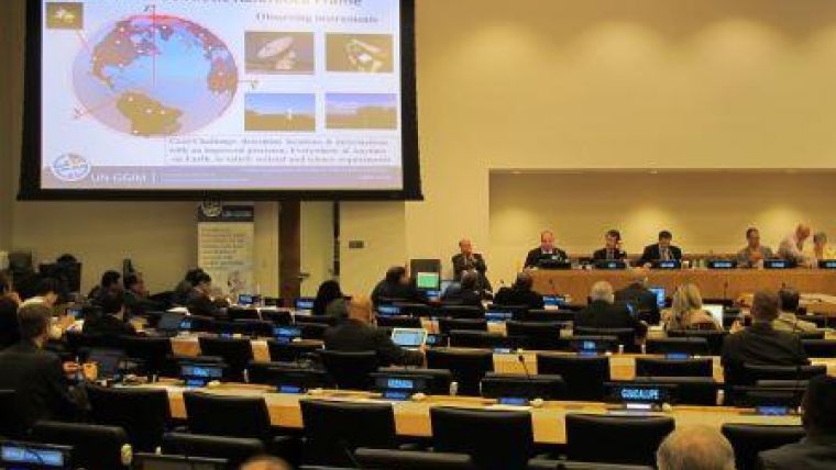
The UN-GGIM will hold its 7th session from 31 July to 4 August 2017 at the UN Headquarters in New York, USA. The UN-GGIM will specifically consider marine geospatial information for the first time at this session. A new working group will be installed to develop appropriate top-level guidance on the availability and accessibility of comprehensive location-based information. This will help UN Member States to develop strategic priorities, make decisions and measure and monitor outcomes in the marine environment.
The UNGGIM is now focusing attention on providing top-level guidance on Marine Spatial Data Infrastructures (MSDI) as well as land-based SDI. Including the maritime domain in the work of the UN-GGIM is a logical and helpful progression and is a recognition of the role and the influence that the IHO Secretariat has exerted in the UN-GGIM on behalf of its Member States in the last few years. It will, for the first time, provide top-level global guidance and encouragement to governments to join the land and sea together as far as geospatial information is concerned.
Topics in IHO Work Programme
It is expected that the role and inclusion of the IHO in a working group considering marine geospatial information will be acknowledged specifically in the proposed Terms of Reference, given that many of the issues to be considered by the working group are being addressed in detail in the IHO work programme. Common topics include MSDI, crowd-sourced bathymetry, data exchange and data interoperability. The IHO and its Member State representatives play an active part in the work of the UN-GGIM and in particular in the proposed UN-GGIM working group on marine geospatial information.
The Terms of Reference for the UN-GGIM call upon UN Member States “... to designate experts with specific knowledge drawn from the interrelated fields of surveying, geography, cartography and mapping, remote sensing, land/sea and geographic information systems and environmental protection”. IHO Member States representatives are the obvious experts with specific knowledge when it comes to any discussion by the UN-GGIM related to marine geospatial information.
UN-GGIM and Marine Geospatial Information
The UN-GGIM has the leading role in setting the agenda for global geospatial information management and promoting its usefulness in addressing key global challenges, particularly in relation to the UN 2030 Agenda for Sustainable Development. UN-GGIM is the UN forum for liaison and coordination among Member States, and between Member States, international organizations and stakeholders to bring about coordination and coherence in geospatial information management, including for the marine environment.
Since 2011, the IHO Secretariat has represented the IHO in the annual meetings of the UN-GGIM and several of its inter-sessional high-level forums and has contributed actively to the relevant agenda items. The participation of the IHO has resulted in the increased acknowledgement of the need to consider the maritime geospatial information domain as part of the UN-GGIM work.
Information about the UN-GGIM and details of its next session can be found on the UN-GGIM website and the documents for the session are posted when available.


