Vattenfall Procures OceanWise Raster Charts XL
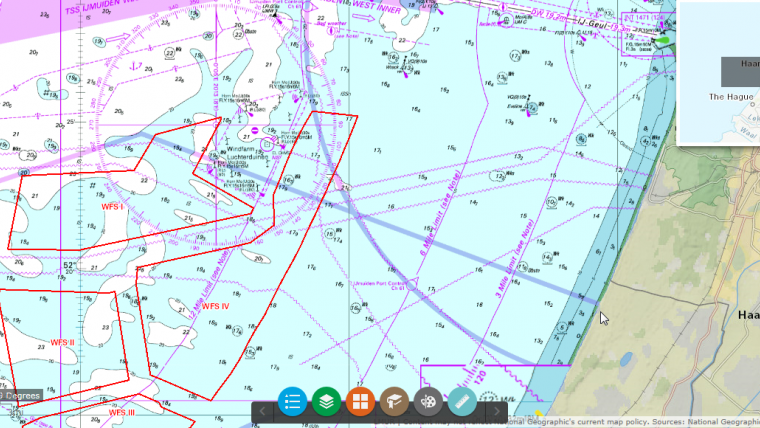
Vattenfall, the Swedish energy group, has procured OceanWise Raster Charts XL (eXcluding Land) as a seamless Web Map Tile Service (WMTS) for Northern Europe. Based on standard nautical charts, and therefore with a familiar look and feel, Raster Charts XL are marine charts which have had all the land and other non-marine features removed.
Meta-features such as scale bars, source data diagrams and title blocks have been removed meaning they no longer hide more useful information. Removing the land means Vattenfall can combine the WMTS with its own sources of land mapping data to give improved coverage in the coastal zone.
High-level marine mapping data
Raster Charts XL have been developed by OceanWise in response to the increasing requirement for high-level, relevant and more accurate marine mapping data. As modern businesses seek ways in which to work smarter, accessible intelligent data is essential for successful marine planning and monitoring.
Anthony Hunt, head of GIS, BA Wind at Vattenfall, stated they have incorporated the OceanWise Raster Charts XL service into their organisational WebGIS. This gives their developers, engineers and other project staff a good overview of many of the key marine features that are relevant for wind farm development. As Vattenfall takes the service to cover a large geographical extent, they also use the service to gain a quick view on areas of potential market development growth in addition to their current portfolio.


