WindSentinel for Wind Source Assessments
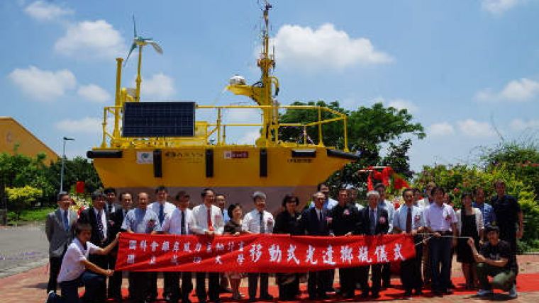
National Cheng Kung University (NCKU), southern Taiwan, launched its floating Lidar, an offshore wind resource assessment buoy, on 24 May 2013 at Tainan Hydraulics Laboratory. NCKU president Hwung-Hweng Hwung said at the launching ceremony that it was the Asian number 1 and world's number 4 floating Lidar application for wind profiler measurement at sea.
The launching ceremony was performed by the NCKU president’s wife who had the honour of smashing the champagne bottle.
Reo Philips, AXYS director of operations, said, that the launch makes one of the best resources in Asia and possibly in the world now available in the Taiwan Strait.
The WindSentinel will provide extended season, real-time in-water data using the most advanced wind testing equipment, according to professor Ta-Hui Lin, director of Master Programme of National Science and Technology Programme-Energy (NSTPE) on Offshore Wind Power.
Lin said that the flexibility and mobility of the buoy along with significant cost and time savings compared to constructing a meteorological tower with traditional anemometer instrumentation will provide a new level of highly mobile research capacity that is able to explore the potential of possible future offshore wind development on the Taiwan Strait.
National Cheng Kung University participates in the NSTPE, which is supported by the National Science Council (NSC), to promote the Master Programme on Offshore Wind Power.


