The 2020 edition of the Hydro International Business Guide contains a series of articles that focus on various survey and mapping methods and technologies. This time we focus on the automation of hydrographic data collection, AUVs, satellite-derived bathymetry and monitoring how the sea-level rise accelerates.
In this Busines Guide you will find the following articles:
- P. 11 Subsea Autonomy is Moving Beyond Waypoints
- P. 20 Hydrographic Technology and the Market for 2020
- P. 23 The Final Search for an Effective SBD System
- P. 27 Rate of Sea-level Rise Accelerates
- P. 30 NOAA's Plan for Deep Ocean Mapping of US Waters
Sentinel-2 Coastal Charting Worldwide
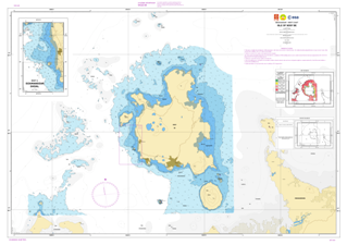 It is widely and wrongly assumed that the world’s coastal regions have been accurately surveyed by modern techniques and that the resulting nautical charts are an accurate reflection of the true nature of the seabed. This optimistic approach is not shared by the world’s Hydrographic Offices or the International Hydrographic Organization. Hydrographers have a saying “the world is fully charted, it’s a shame that so little is surveyed”, and one could add, looking at venerable charts, so poorly surveyed. Read on...
Subsea Autonomy
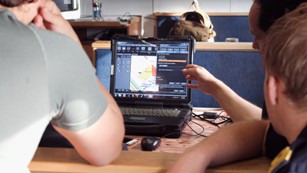 The AUV has been the tool of choice for shallow-water MCM and EOD operations for a number of years. The coverage by popular news channels of unfortunate events, such as the MH370 tragedy, has also shown that the AUV has undisputedly become the tool of choice to carry out salvage operations at extreme depths. Read on...
Sea-level Rise
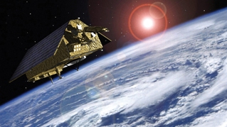 With millions of people around the world at risk from rising seas, it is essential to continue measuring the changing height of the sea surface to ensure that decision-makers are equipped to take appropriate mitigating action. Copernicus Sentinel-6, a new satellite, will take the lead in charting sea-level change. Read on...
NOAA's Plan for Deep Ocean Mapping
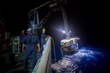 NOAA is using a systematic approach to map all US waters in support of Seabed 2030 objectives and to contribute to the complete mapping of the world’s oceans in the next ten years. Mapping within US waters is a national goal that will only be accomplished through strong coordination and partnerships with other federal agencies, academia, and the private sector. Read on...

