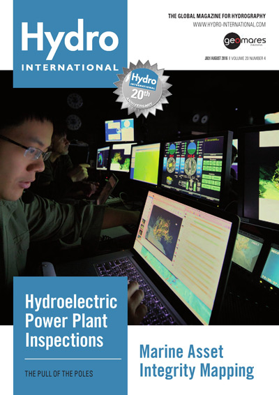
The Hydro International magazine is the monthly magazine for the hydrographics professional. Read the articles on hydrographic survey and related subjects by Hydro International! Do you like it better to have the magazine in your hands? Get the print edition!
Main topics in the July / August issue are:
Hydroelectric Power Plant Inspection
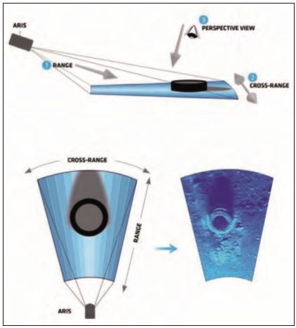
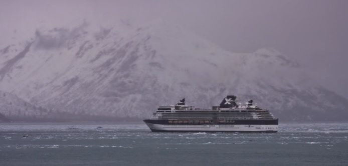
Forward Looking Sonar and Polar Navigation
Marine Asset Integrity Mapping
Insider's View: Es Saade
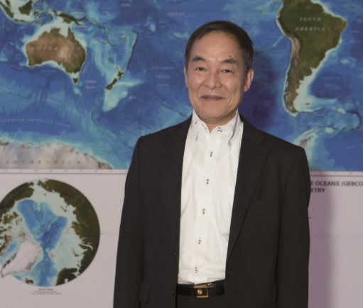
Interview With Shin Tani
... and more!
Feature: Marine Asset Integrity Mapping
 Page 24-27: - Advances in marine & terrestrial scanning survey techniques together with precise inertial navigation sensors, multi-sensor acquisition system and cost-effective UAS photogrammetry allow hydrographic surveyors to undertake high-precision marine asset integrity mapping. The benefit of this approach is that it produces a very accurate three dimensional digital elevation model that could be used as a baseline comparative survey to determine the long-term stability of sea walls and breakwater structures for engineering purposes.
Feature: Hydroelectric Power Plant Inspections
 Page 16-19: In Brazil there is a legal requirement to inspect all hydroelectric dams and power plants (HPP) every five to ten years, but the methods to be employed for such inspections are not well-defined. Most of the work is currently done by autonomous scuba divers using visual and conventional direct methods. However, there is considerable pressure to reduce the use of diver deployment in such a dangerous work environment.
Feature: The Pull of the Poles
 Page 20-23: - Forward Looking Sonar and Polar Navigation by Cruise Ship - The April 2015 issue of Hydro International considered the contribution of Forward Looking Sonar (FLS) to safer navigation in inadequately charted waters. Certain polar waters fall in this category; in recognition, some expedition cruise vessels have FLS. The extent of FLS provision in the current expedition fleet will be examined in this article as well as the trend for larger traditional cruise ships to extend their itineraries into higher latitudes.
Interview: Shin Tani
 Page 12-15: The first Forum for Future of the Ocean Floor Mapping was held in Monaco from 15 to 17 June 2016. Some 200 delegates gathered, under the flag of General Bathymetric Chart of the Oceans (GEBCO), to discuss the future of the mapping of the ocean floor, aiming to come up with a roadmap towards 100% coverage of a mapped ocean floor.

