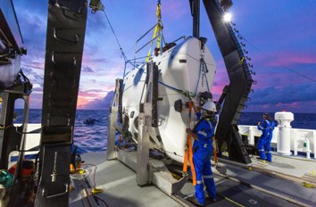
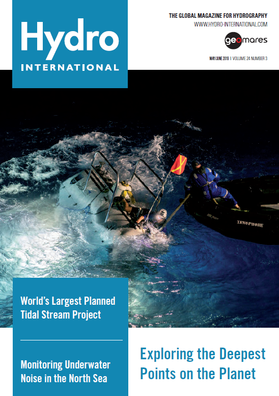
On the front cover of this issue of Hydro International: The Five Deeps Expedition is a round-the-world trip on DSSV Pressure Drop, a dedicated research vessel equipped aimed to send Victor Vescovo, the architect of the expedition, to the deepest point in each of the five oceans within one year. At the Mariana Trench the crew is launching the submarine DSV Limiting Factor (photo credit Tamara Stubbs). Read more on page 22
P. 14 – Eco-engineers Strive to Save Endangered Marine Species
P. 20 – Investigating a Non-polluting Alternative to Diesel
P. 22 - Exploring the Deepest Points on the Planet
P. 26 – Will Hydrographic Geospatial Data Pass the Fit-for-purpose Test?
P. 30 – Next Step in your Hydrographic and Surveying Career
Exploring the Deepest Points on Planet Earth
 As extreme explorer Victor Vescovo continues his round-the-world expedition to become the first person to descend to the five deepest points in the Earth’s five oceans using the custom-built deep submergence vehicle Limiting Factor, it prompts the question: ‘Do we know as much about the deepest places on our planet as we thought?’ Today, the best global maps of the oceans have a resolution of 30 arc-second grid cells (926m at the equator). Approximately 82% of the grid cells do not include a single depth measurement (Weatherall et al., 2015), and the percentage of the seafloor that has been directly measured by echo sounders is likely to be less than 18% (Mayer et al., 2018). Read on...
Underwater Noise Monitoring
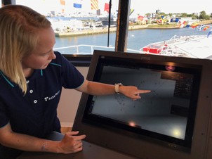
Sound is of vital importance for marine animals. Eleven institutes from the countries bordering the North Sea have joined forces in the Jomopans project to implement a novel monitoring strategy for underwater sound. Due to the growth of human activities in the sea, sound pollution is a growing concern for marine environmental managers. In the Joint Monitoring Programme of Ambient Noise in the North Sea (Jomopans) project, measurements at sea are combined with noise maps from numerical modeling to assess the quantitative levels of sound at sea. Read on...
Marine Geospatial Information
 In 2017, OceanWise outlined the work of the UN-GGIM. The Committee of Experts endorsed the terms of reference for establishing a Working Group on Marine Geospatial Information. Here, Dr Mike Osborne and John Pepper provide a timely update on what has been happening since then. The UN-GGIM aims to address global challenges relating to how geospatial information is created, managed and utilized. The UN seeks to overcome these challenges by improving access to fit-for-purpose geospatial information.
Read on...
Eco-engineers Strive to Save Endangered Marine Species
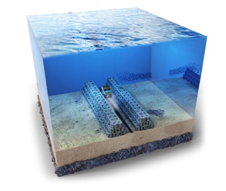
 Could a new type of patented marine technology be used to preserve some of the planet’s most valuable commercial species of fish, while also helping to rebuild damaged reef systems? The team at ARC Marine believe so. In this interview, co-founders Tom Birbeck and James Doddrell explain their innovative solution to one of the world’s most urgent marine challenges. Read on...


