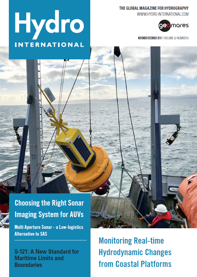
The November/December issue of Hydro International has a special focus on two topics: data acquisition boys, and chart datum. Additionally, it contains an article on the use of augmented reality for computational fluid dynamics, as well as an article on the application of bathymetry within a rip current prediction system.
This issue contains the following articles:
- Monitoring Real-time Hydrodynamic Changes for Coastal Platforms
- S-121: A New Standard for Maritime Limits and Boundaries
- Choosing the Right Sonar Imaging System for AUVs
- Vertical Datums in the Hudson River
S-121: A New Standard for Maritime Limits and Boundaries
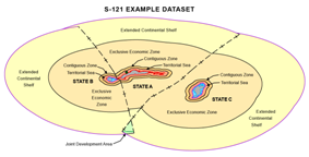 The fundamental importance of maritime zones and other marine areas is underscored in United Nations (UN) Sustainable Development Goal 14, which aims to conserve and sustainably use oceans, seas and marine resources. Maritime Limits and Boundaries (MLB) circumscribe and define these maritime and marine spaces, and incorporate the applicable Rights, Responsibilities and Restrictions (RRR). S-121, the widely anticipated marine data standard, provides a new open access method for providing and exchanging digital representations of MLBs. Read on...
Hydrodynamic Changes
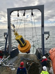 The nearshore and offshore regions running from the shallow coastal shelf to the intertidal zone are dramatic, tempestuous and extremely complex environments that offer the potential to reliably provide vast amounts of renewable energy to most coastal countries in one form or another. In order to be able to harness this capability safely and efficiently it is critical that we continue to expand our knowledge and understanding of the hydrodynamics of these environments. Read on...
Vertical Datums
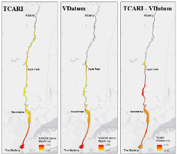 A fixed low water reference plane, Hudson River Datum (HRD), was adopted as chart datum for certain portions of the Hudson River to approximate mean low water when river levels are lowest. Hydrographic surveyors can apply a GEOID model to reference the HRD using Ellipsoidally Referenced Survey (ERS) techniques. Projects not utilising ERS require a Mean Lower Low Water (MLLW) - HRD separation surface to reduce the bathymetry data to the HRD. This paper describes an interpolation method to generate the separation surface using a tool called Tidal Constituent and Residual Interpolation (TCARI). Read on...
Choosing the Right Sonar Imaging System for AUVs
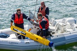 Underwater vehicle operators have to make a choice when deciding on a sonar imaging system to integrate on their systems. The decision could result in a trade-off, with a choice to be made between achieving high levels of range and resolution and power and weight budgets. The decision made can impact the value of subsea survey, classifying and mapping operations. But does it always have to be a trade-off? Read on...

