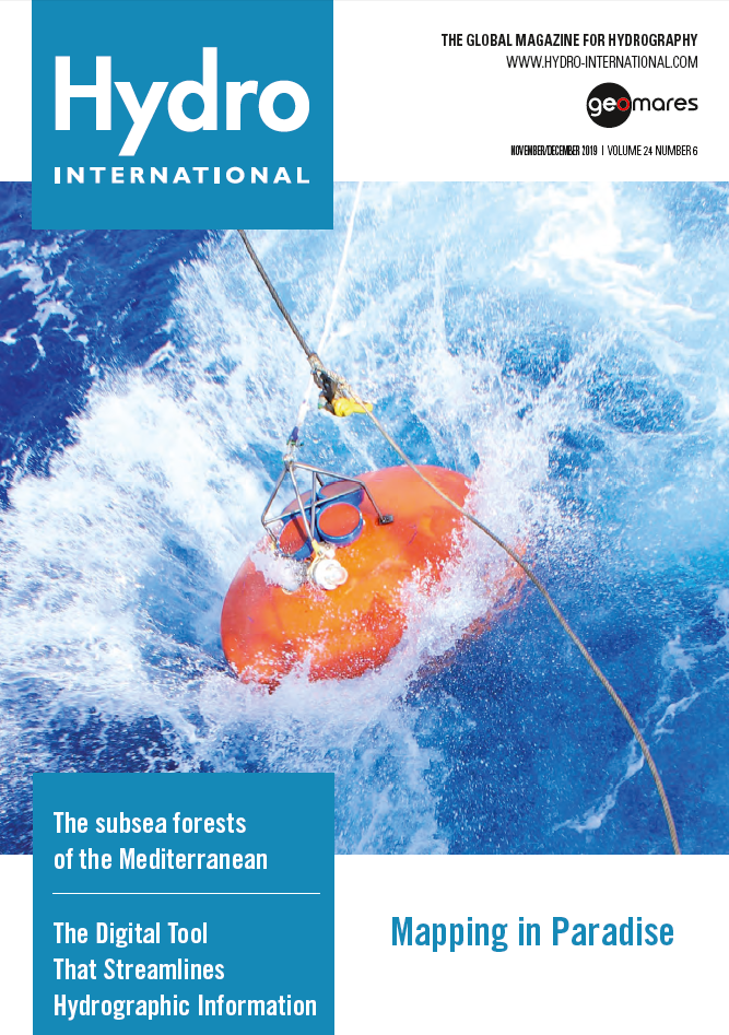
The cover photo of the November-December issue of Hydro International is a winning submission from Teledyne Marine's annual photo contest. The image shows a Workhorse Long Ranger ADCP being deployed to collect ocean current information. (Courtesy: Jarred Voorneveld, SAEON)
This issue contains the following articles:
- 7 Questions to Phil Payne (UKHO)
- iXblue Echoes 10,000 Sub-bottom Imager for Object Detection
- Mapping the Subsea Forests of the Mediterranean
- Exploring the Origin of Indian Ocean Geoid Low
- Airborne Multibeam Lidar Coastal Mapping in Paradise
- Hydrographic Data Delivery and Charting for the Future
Mapping the Subsea Forests of the Mediterranean
The distribution of Posidonia oceanica seagrass meadows has been mapped by a combination of remote sensing techniques, Geographical Information Systems (GIS) and sonar data. A fundamental, but challenging, part of this methodology is the remote sensing image classification. This article presents a review of different image classification techniques to optimise the final maps, so that effective action can be taken to conserve seagrass meadows. Read on...
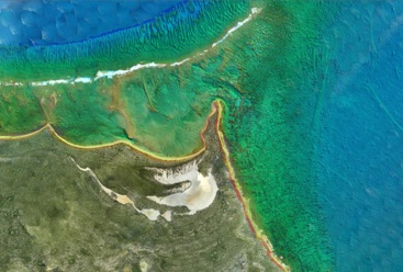
Coastal Mapping in Paradise
 The Rapid Airborne Multibeam Mapping System, RAMMS, was developed over a period of three years before it was officially launched in the summer of 2018. Senior hydrographer Richard Goosen describes how Fugro used the system for coastal and nearshore mapping at the paradise Turks and Caicos Islands. Read on...
Bathymetric Surveys
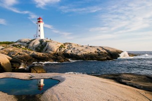
 High-resolution bathymetric surveys support aquaculture research and increase navigational safety. In a case study, Tim Webster reports how this is done at Cape John Peninsula in Canada. In the second one, Carol Lockhart describes the project in the Kingdom of Tonga, a Polynesian archipelago comprising 169 islands that stretches across approximately 800 kilometres in the South Pacific Ocean. Read on...
7 Questions to Phil Payne, UK Hydrographic Office
Phil Payne, survey delivery manager of the UK Hydrographic Office talks about hydrographic programmes to support blue economic growth, intentional projects and the use of Lidar for charting purposes. ”There will be a continued drive towards autonomy and automated processing.” As Survey Delivery Manager, Payne is in charge of contracting out and organising surveys around the world, which his organization undertakes as part of the UK Government’s Commonwealth Marine Economies (CME) and Overseas Territories Seabed Mapping Programmes. Read on...


