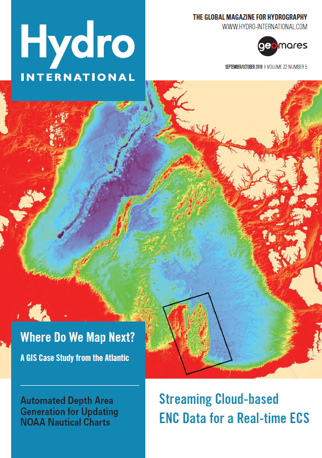
In this issue of Hydro International:
P. 6 Will Blockchain Drop Anchor in Hydrography?
P. 14 Streaming Cloud-based ENC Data for a Real-Time ECS
P. 18 Where Do We Map Next?
P. 22 Understanding Deep-sea Minerals and Ecosystems
P. 27 Automated Depth Area Generation for Updating NOAA Nautical Charts
P. 30 A Cost-efficient INS for Flexible Subsea Operations
P. 32 Working Together to Map the Gaps
P. 34 World Hydrography Day 2018 Celebrated in Jakarta
Where Do We Map Next?
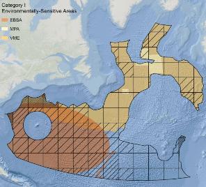 Mapping the world’s oceans is a tremendous task that would benefit from a prioritisation strategy. In this article, an in-depth presentation of one such approach is given: a GIS-based analysis that identified potential target areas for future mapping efforts in the North Atlantic Ocean. The authors state that more knowledge about the seafloor could be significantly accelerated if all bathymetric data were publicly available.
Understanding Deep-sea Minerals
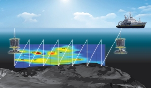 France and Ifremer have had a long involvement in the discovery and study of deep-sea mineral resources and their associated ecosystems. With a rather unique position in the marine research landscape, Ifremer is actively involved in the deep-sea both as a contractor with the ISA and as an integrated marine science research institute. The HERMINE 2017 exploration cruise on the French polymetallic sulphides exploration contract is an example of combined mineral exploration and scientific investigations.
Map the Gaps
 Earlier this year, NOAA announced the end of a testing phase for the development of a new crowdsourced bathymetry database. The public can now access the bathymetric observations and measurements from citizen science volunteers and crowdsourcing programmes through the IHO Data Centre for Digital Bathymetry (DCDB) Data Viewer. This operationalised database allows free access to millions of ocean-depth data points. The database also serves as a powerful source of information to improve navigation products and the general knowledge about seafloors, according to NOAA.
Automated Depth Area Generation for Updating NOAA Nautical Charts
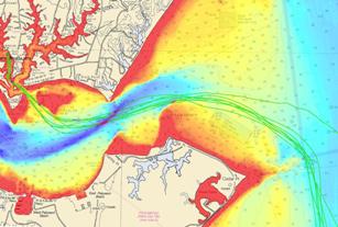
 NOAA’s Marine Chart Division (MCD) is currently revising production efforts using an ‘ENC-first’ approach in order to provide a seamless and tiled geographic coverage. Currently, ENC production workflows within MCD require cartographers to manually manipulate data in the Nautical Information System (NIS) to update navigation products. This MCD addressed this production bottleneck by developing a tool to derive depth area, contour and sounding vector data directly from gridded raster bathymetry surface data.

