Found 1781 results
Sort by

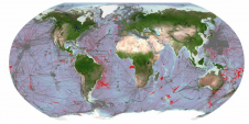
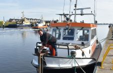
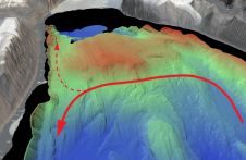
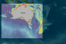
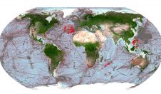
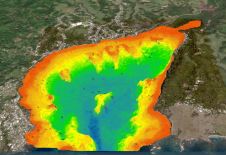
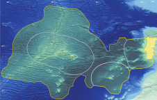
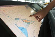
Teledyne Geospatial announces CARIS OnDemand

Teledyne Geospatial has announced that CARIS software, globally preferred by national mapping and charting agencies, survey companies, port and waterway authorities, oil and gas companies and academic institutions, will now...

Read more

Bathymetric sensors in education

The position of bathymetric sensors in hydrographic education is beyond discussion, as bathymetry is, was and will continue to be the bread and butter of the hydrographic surveyor. Bathymetric sensors...

Read more

Mapping northern Greenland waters

An understanding of the interplay between glaciers and the ocean is needed to improve sea-level rise projections. Seafloor mapping is critical in this pursuit, particularly where the ice sheets of...

Read more