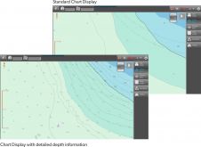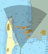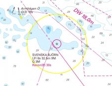
Chart Management and Production for Sweden’s Coastline
Sweden is a unique archipelago with thousands of islands, and hydrographic survey data is critical to managing its rocky coastal waterways. The Swedish Maritime Administration (SMA) is responsible for the...